graphic-art, print, etching
graphic-art
baroque
etching
etching
cityscape
Dimensions: height 387 mm, width 504 mm
Copyright: Rijks Museum: Open Domain
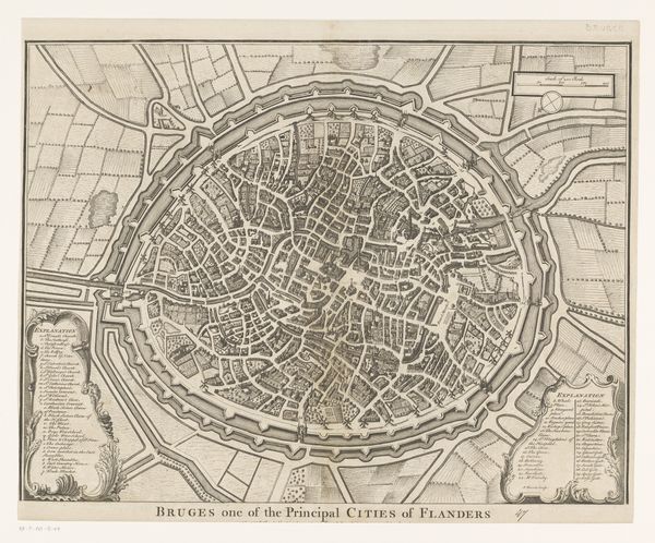
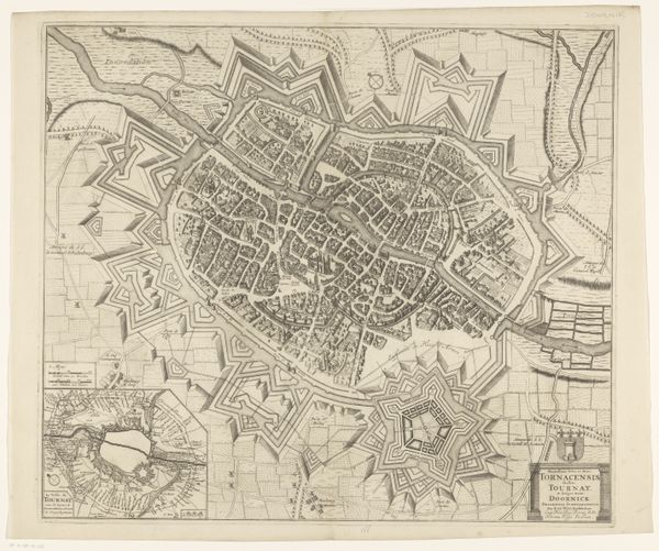
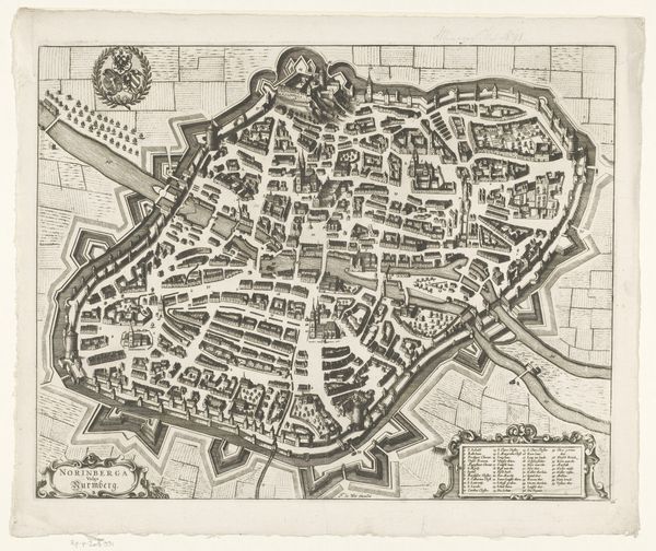
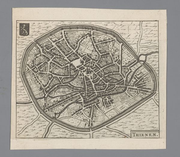
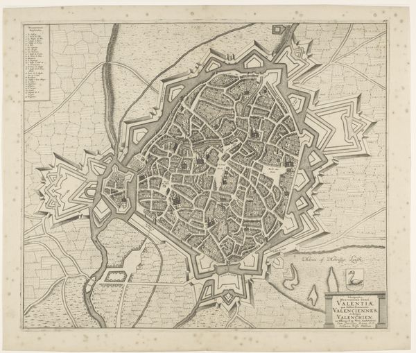
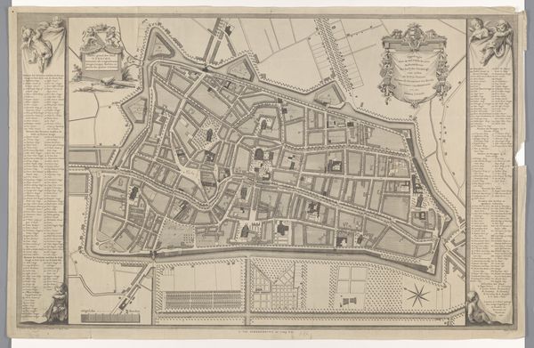
Reynier Blokhuysen made this print of Brugge, in the Netherlands, in the first half of the 18th century. At first glance, this image serves as a straightforward map, but it’s also a fascinating historical document. The map provides insights into the city's social and political structures. Notice the detailed fortifications and the orderly layout of streets and canals within the city walls. These features reflect Brugge's strategic importance as a center of trade and defense. The key to locations in the bottom left corner allows us to understand which buildings were of high importance to the city. The choice to depict Brugge in such a precise manner speaks to the values of the time, when the rise of cartography coincided with increasing interest in urban planning. To fully appreciate such a map, we delve into archives, historical records, and urban studies. These resources provide the social and institutional context of the artwork. By understanding the world in which Blokhuysen lived, we understand more fully the social role of the artwork.
Comments
No comments
Be the first to comment and join the conversation on the ultimate creative platform.