print, engraving
geometric
line
cityscape
northern-renaissance
engraving
Dimensions: height 350 mm, width 493 mm
Copyright: Rijks Museum: Open Domain
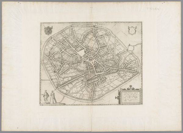
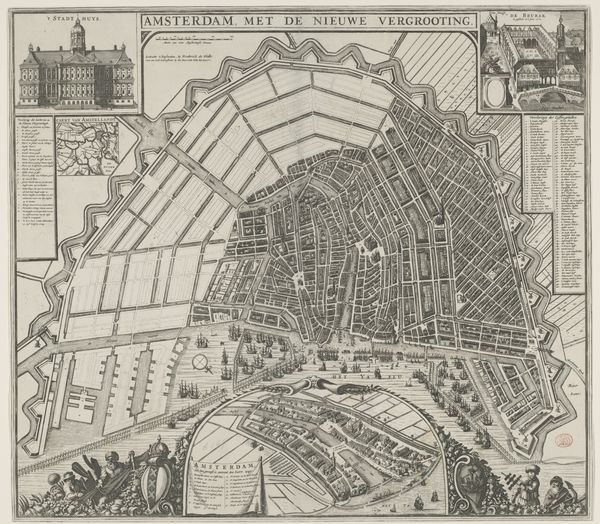
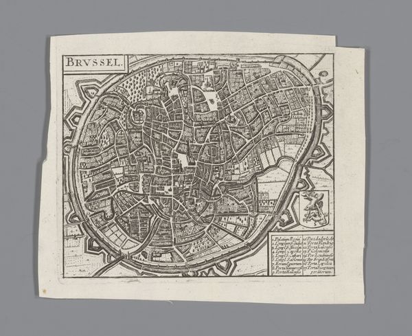
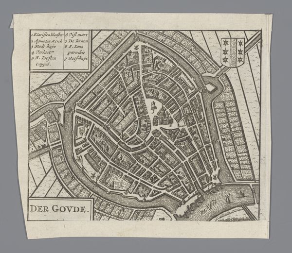
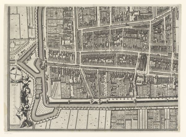
This is Frans Hogenberg’s ‘Plattegrond van Leuven,’ an engraving from the late 16th century depicting the city of Leuven, now in Belgium. Its form is a bird’s eye view with a great amount of detail; a valuable resource for historical understanding. The map's visual codes offer insights into the period. Consider the prominent city walls that emphasize defense, the layout of streets reflecting urban planning, and the inclusion of coats of arms, signs of civic pride and governance. Leuven, as part of the Habsburg Netherlands, experienced religious and political turmoil during this era. Maps like these played a crucial role, informing military strategy and asserting territorial claims. The University of Leuven, a major intellectual center, would also have shaped the city’s identity, an institution with its own long history of shaping knowledge. As historians, our analysis extends beyond geography; it delves into the social, political, and institutional contexts. By consulting archives, period documents, and secondary scholarship, we can better understand the map's role in shaping perceptions of Leuven and its place in a turbulent world.
Comments
No comments
Be the first to comment and join the conversation on the ultimate creative platform.