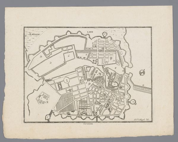
print, etching
#
baroque
# print
#
etching
#
old engraving style
#
etching
#
geometric
#
cityscape
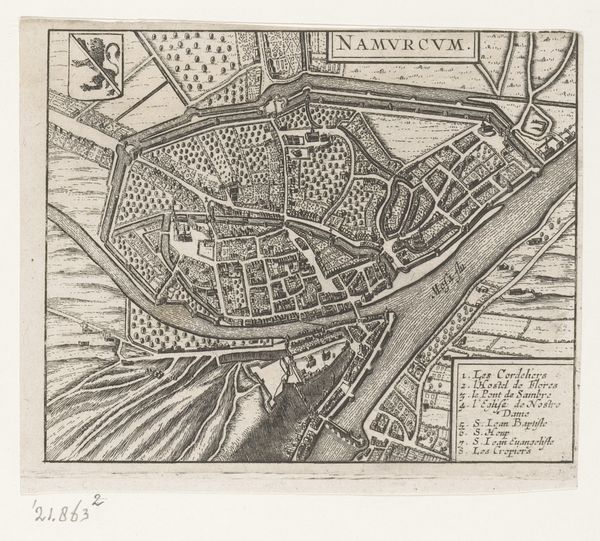
Dimensions: height 144 mm, width 190 mm
Copyright: Rijks Museum: Open Domain
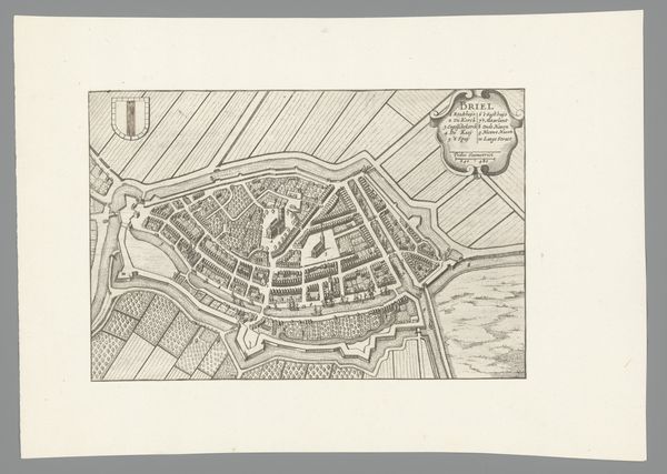
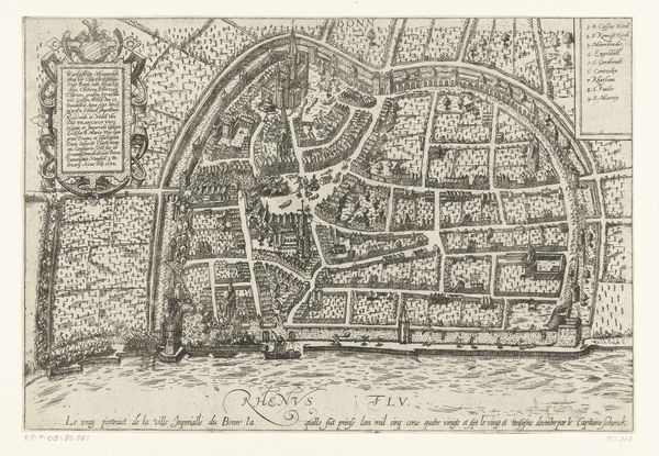
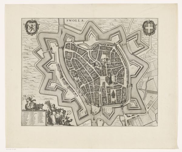
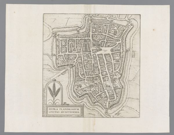
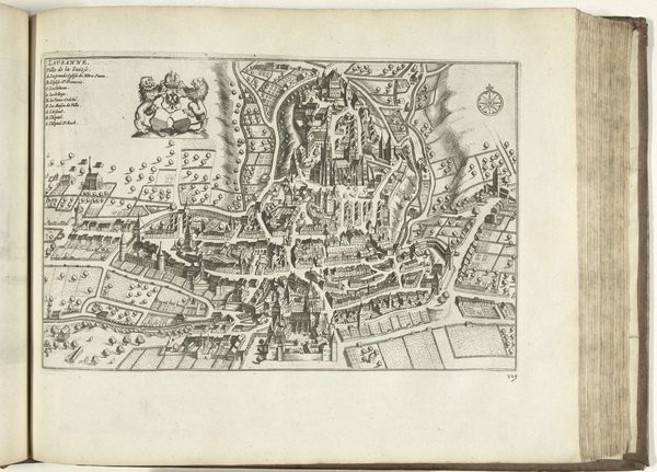
Curator: This etching from 1652 presents a bird's-eye view of Luxembourg. Interestingly, its creator remains anonymous, yet the detail captured is quite remarkable. What are your immediate impressions? Editor: It's striking how contained the city feels, almost as if nature itself—the river and surrounding hills—is pressing in, hemming it in like cupped hands. There is an intricate quality to it. Curator: Yes, the composition reveals a deliberate intent. The print medium allows for precise linework, crucial for cartography. This wasn't just an aesthetic piece, but a functional document of the time, influenced by Luxembourg's socio-political realities. Editor: Look at the prominence given to the fortifications; the strong city walls give me a sense of how conflict and defense shaped the city. Are there any other symbols beyond that? Curator: Well, the coat of arms in the upper left firmly establishes civic authority, yet these types of depictions also had symbolic significance. The inclusion of specific landmarks underscores what aspects of civic identity the people might wish to memorialize. This imagery would certainly resonate within the social circles that engaged with it. Editor: That heraldic lion speaks volumes. Consider the collective cultural understanding embedded in heraldry. Lions often symbolized courage, nobility, and royalty, which means it's broadcasting the city’s status in no uncertain terms. The cityscape itself feels dense, with building masses closely packed together. The people would know of their belonging to it, but strangers might sense tension. Curator: Quite right. That controlled perspective tells us much about the perceived ideal structure of urban governance in that era, emphasizing order, hierarchy and a controlled landscape. Its function within larger societal power structures seems undeniable. Editor: To step back, that tight arrangement is powerful and intriguing, considering its continued place in historical consciousness. Curator: Indeed, the image presents enduring qualities, extending beyond mere geographic representation, isn’t it?
Comments
No comments
Be the first to comment and join the conversation on the ultimate creative platform.
More like this