print, engraving
dutch-golden-age
pen sketch
old engraving style
landscape
engraving
Dimensions: height 431 mm, width 567 mm
Copyright: Rijks Museum: Open Domain
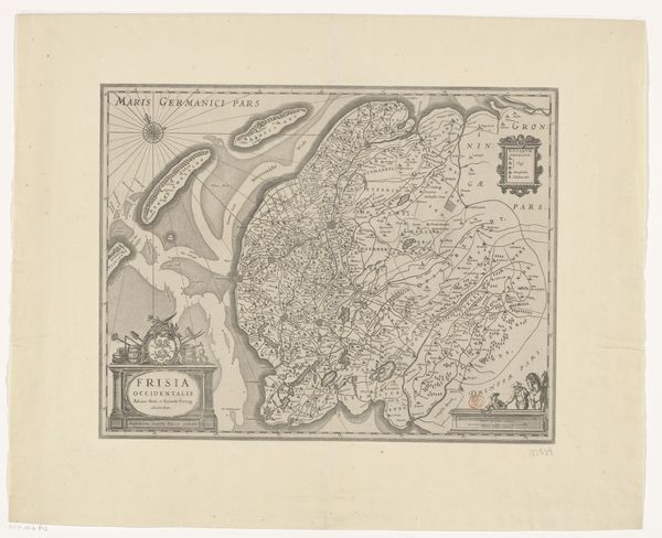
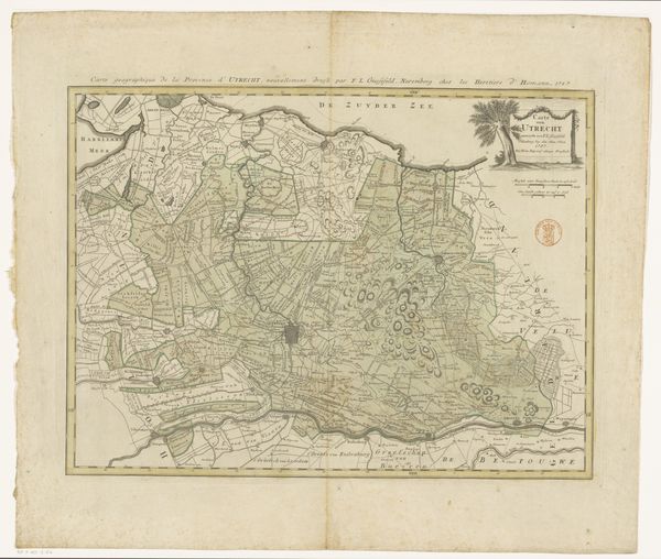
This is a map of Friesland and parts of Groningen, Drenthe and Overijssel, made by François Caumartin using ink on paper. The material itself, paper, is key. Think about how it is made, from pulped plant fibers reformed as a thin, crisp surface. Then consider the inking process, achieved through etching or engraving. Each line meticulously carved, holding the ink that defines borders, waterways, and settlements. Look closely, and you can see the subtle variations in line weight, and the density of cross-hatching that creates tonal depth. Maps like this were crucial tools, enabling trade and colonial expansion by charting territories. This one would have been made using meticulous labor, and skilled hands, but also facilitated labor and resource extraction in its own right. So we might consider this map as both an aesthetic object, and an active participant in the world of work.
Comments
No comments
Be the first to comment and join the conversation on the ultimate creative platform.