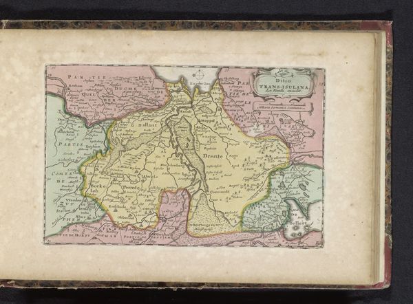
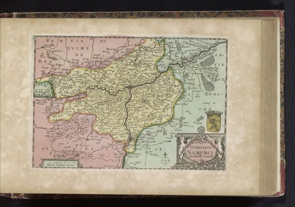
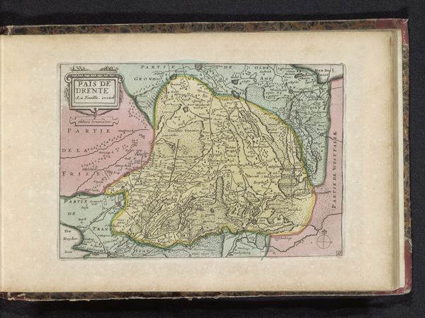
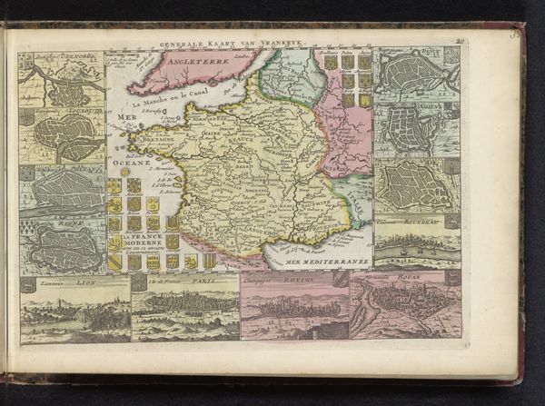
print, engraving
#
baroque
# print
#
genre-painting
#
history-painting
#
engraving
#
watercolor
Dimensions: height 157 mm, width 227 mm
Copyright: Rijks Museum: Open Domain
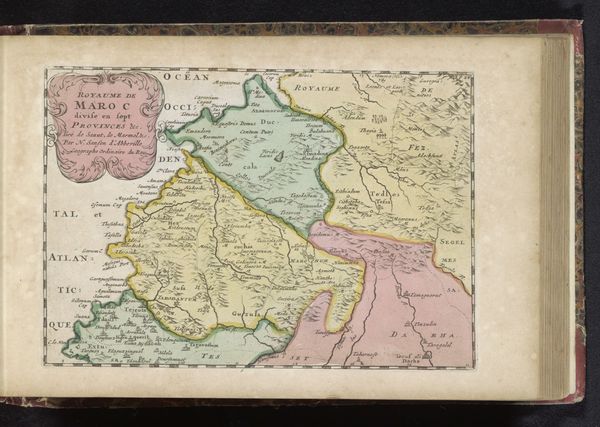
Curator: Well, this "Kaart van Limburg," dating back to the early 1700s, captures a place and time with elegant precision, wouldn't you agree? It’s a print, an engraving, carefully colored with what appears to be watercolor. Editor: It feels surprisingly… optimistic for a map, almost fairytale-like with those little cherubs framing the title cartouche. It's like, come, explore, no dragons here! Just perfectly measured borders and softly hued terrain. Curator: Absolutely, and notice how the Baroque aesthetic plays out here. It's not just about pure utility. See those delicate compass roses and miniature figures? These elements elevate it from mere data to a work celebrating geographical knowledge itself. Editor: Right! Maps aren't just about showing where places *are*; they show what people *thought* of places, what mattered to them. The choice to personify direction as chubby, almost playful cherubs suggests a kind of mastery, like, "Yes, we've charted this all, fear not, little ones!" Curator: And I find it interesting how the color defines political borders almost whimsically. Soft pinks and greens give the land a pastoral, almost idealized, quality. But lurking underneath this veneer of prettiness, of course, there’s strategic power at play. Editor: Yes, a land grab disguised as picturesque scenery! The very act of mapping—drawing a line, naming a place—is an act of possession. Makes me wonder about what wasn’t included, what the mapmakers chose to ignore. Whose perspectives got left off the page? Curator: Food for thought indeed! And even without all the answers, there’s still something charming about seeing a region, even a politically contested one, rendered with such delicate optimism. It offers us a glimpse into a particular historical mindset. Editor: So true. Looking at it again, I feel drawn to the symbolic weight that a ‘map’ of that period represents in our minds—the Age of Exploration, the birth of geopolitics. It’s more than geography; it’s cultural memory condensed. Curator: Indeed. This single image becomes a time capsule—evidence of past intentions, aesthetics, and ambitions. Fascinating. Editor: Fascinating, yes! A perfect blend of art, science, and really chubby cherubs.
Comments
No comments
Be the first to comment and join the conversation on the ultimate creative platform.
More like this