drawing, print, paper, ink, engraving
#
drawing
#
aged paper
#
toned paper
#
ink paper printed
# print
#
old engraving style
#
landscape
#
paper
#
personal sketchbook
#
ink
#
geometric
#
pen-ink sketch
#
pen and pencil
#
pen work
#
sketchbook drawing
#
academic-art
#
sketchbook art
#
engraving
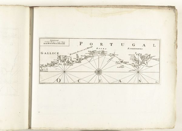
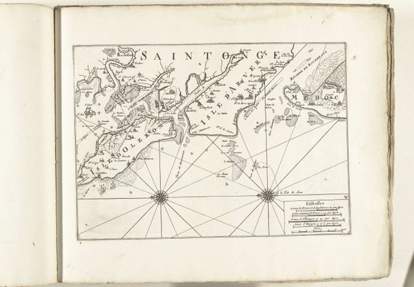
Dimensions: height 332 mm, width 236 mm
Copyright: Rijks Museum: Open Domain
This is an anonymous map of the southern coast of Portugal, made in 1726, with ink. Notice the prominent compass rose at the map's center. It’s more than a navigational tool; it's a symbol, a point of origin for the observer, connecting the known world with the promise of the unknown. The compass rose has roots stretching back to ancient mariners charting their courses by the stars. Over time, the compass, and therefore the rose, became laden with meaning. Think of the Hereford Mappa Mundi, from the 13th century, where Jerusalem sits at the center, a symbolic declaration of spiritual orientation, not unlike the compass's assertion of geographical direction. Like the rose, maps are not neutral objects but carry the weight of cultural aspirations and psychological projections. The act of mapping is driven by a desire to order and control the world, yet it also reveals the anxieties and uncertainties inherent in confronting the unknown. Consider how this symbol, through many eras and cultures, evolves, yet continues to address our fundamental human need to find our place.
Comments
No comments
Be the first to comment and join the conversation on the ultimate creative platform.
More like this