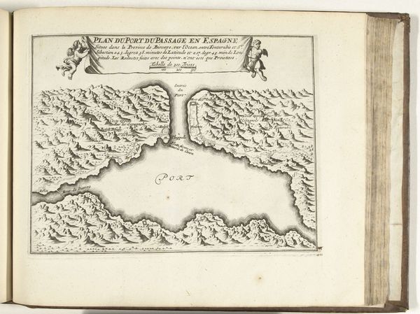
print, engraving
#
dutch-golden-age
# print
#
pen sketch
#
old engraving style
#
genre-painting
#
history-painting
#
engraving
Dimensions: height 160 mm, width 210 mm
Copyright: Rijks Museum: Open Domain
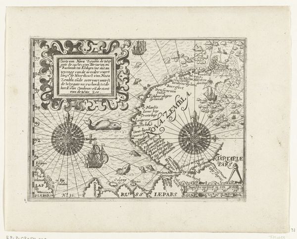
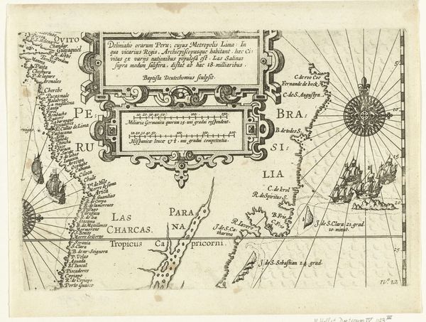
Editor: So, here we have an engraving, “Kaart van de kust bij Callao,” or “Map of the coast near Callao,” created anonymously between 1644 and 1646. It depicts the coastline of Peru. What strikes me is the way the ships are clustered together, almost defensively. What do you see in this piece? Curator: I see a potent emblem of Dutch ambition cast onto a newly perceived world. The map itself isn’t simply geographical; it’s a symbolic claim, a bold assertion of presence in a space already inhabited, already understood by its indigenous peoples. The compass rose at its heart pulses with intention. Editor: Intention? Like… colonial ambition? Curator: Precisely. But also consider the ships themselves. Ships often represent journeys, exploration, and trade – powerful drivers of the Dutch Golden Age. Their clustering implies perhaps vulnerability, but equally, strength in numbers. They're icons of a specific moment in history, carrying weighty cargo – not just goods, but ideas about civilization, power, and religion. Editor: So, every element, the coastline, the ships, the compass, become like a word in a visual language of that era. I hadn’t thought about a map being read in that way before. Curator: Maps are rarely neutral. They often reflect the values and worldview of the people who created them. By dissecting the imagery and symbols embedded, we unravel the narrative those people wished to communicate. Editor: I think I see what you mean. This isn't just a map, it is propaganda! Curator: Exactly!
Comments
No comments
Be the first to comment and join the conversation on the ultimate creative platform.
More like this