drawing, graphic-art, print
#
drawing
#
graphic-art
#
dutch-golden-age
# print
#
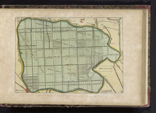
landscape planning
#
landscape
#
genre-painting
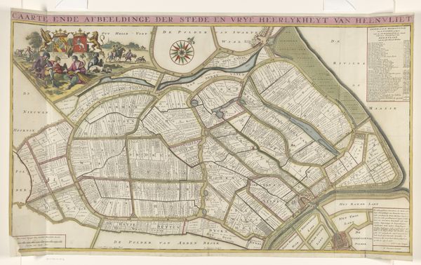
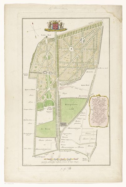
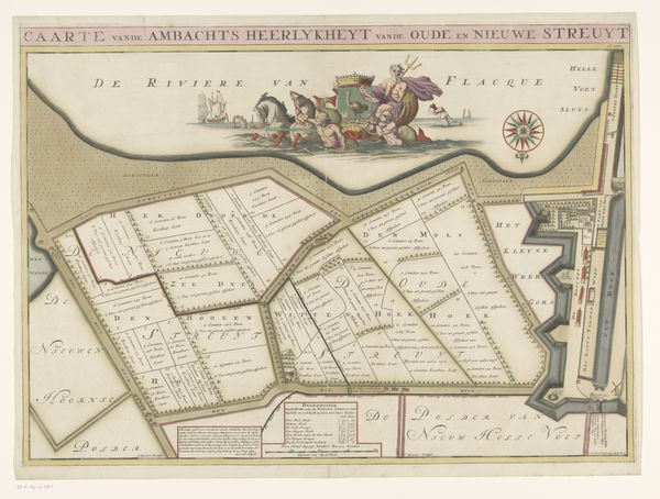
Dimensions: height 506 mm, width 676 mm
Copyright: Rijks Museum: Open Domain
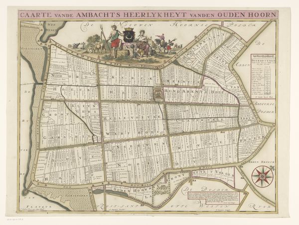
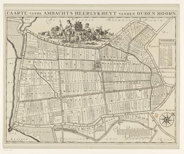
Editor: This is "Kaart van de heerlijkheid Abbenbroek," a drawing by Jan Stemmers from 1701. It’s incredibly detailed for something so old! The pastel colours give it almost a whimsical feel, but it's obviously a very functional map. What do you make of it? Curator: Maps are fascinating cultural artifacts. Beyond simple navigation, they are coded with symbols that embody power, ownership, and worldview. Look closely at the crest; it’s not just decorative, but a potent claim to authority, visually broadcasting who governs this "heerlijkheid," or dominion. Editor: The crest looks... unusual. Are those shoes? What do they signify in this context? Curator: Ah, that’s precisely the kind of question to ask! Crests often bear charges—symbolic elements—unique to a family or region. The shoes might allude to a foundational story, a local industry like shoemaking, or perhaps a pun on a family name. These symbols tap into cultural memory, creating continuity between past and present. It asks "what did they intend to communicate to their world?" Editor: So it’s more than just a landmark locator, it tells a story. How might people viewing this in 1701 have read it differently than we do today? Curator: For them, every boundary line, every carefully labeled plot would have carried weight related to property, obligation, and local identity. Today, divorced from that immediate context, we see it more as a historical record and artistic creation. Editor: I guess it shows that art truly reflects how we want the world to see us, and not just how we see it. Thank you! Curator: Indeed. Maps, seemingly objective, are always infused with the biases and aspirations of their creators, constantly being reinterpreted and rediscovered through different lenses over time.
Comments
No comments
Be the first to comment and join the conversation on the ultimate creative platform.
More like this