drawing, graphic-art, print, paper, engraving
#
drawing
#
graphic-art
#
dutch-golden-age
# print
#
landscape
#
paper
#
engraving
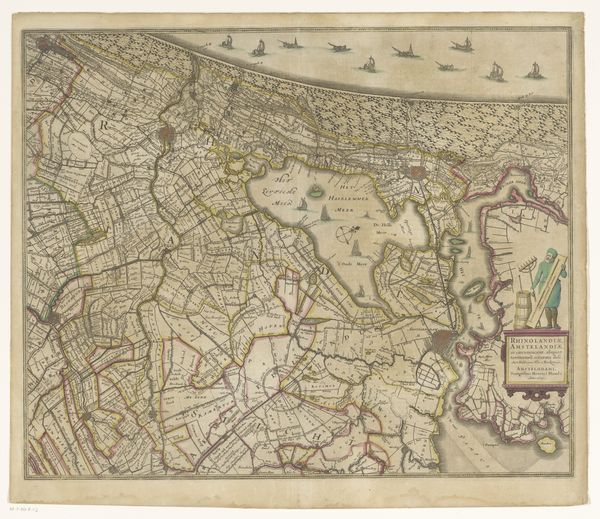
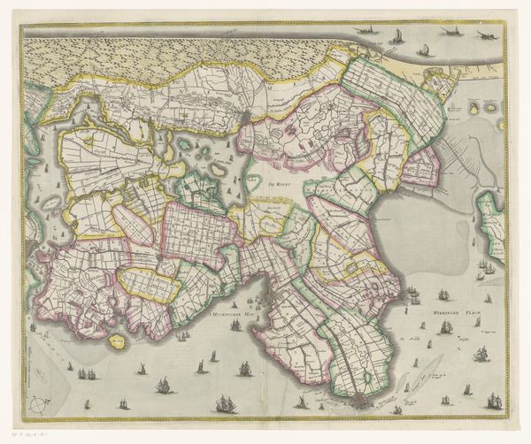
Dimensions: height 525 mm, width 815 mm
Copyright: Rijks Museum: Open Domain
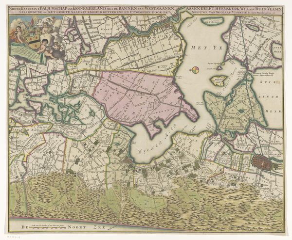
This is Hendrik Post’s hand-colored engraving of the Gooi region, notable for its complex network of lines and varied textures. The map, rendered with meticulous detail, balances geometric precision with organic forms, creating a visually engaging composition. The structural layout reveals a tension between the represented space and its abstraction. The use of fine lines to depict roads and boundaries contrasts with the more textured areas representing wooded regions. This juxtaposition highlights the relationship between human-made structures and the natural landscape. Moreover, the map challenges traditional notions of representation by transforming geographic space into a structured, semiotic system. The interplay of lines, textures, and colors does more than just represent; it interprets and organizes the world, creating a framework for understanding space and place. This cartographic approach functions not merely as a tool for navigation but as a cultural artifact that encapsulates specific ways of perceiving and interacting with the environment.
Comments
No comments
Be the first to comment and join the conversation on the ultimate creative platform.
More like this