drawing, print, engraving
#
drawing
#
aged paper
#
map drawing
# print
#
landscape planning
#
landscape
#
architectural drawing
#
engraving
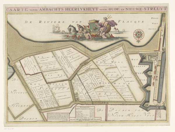
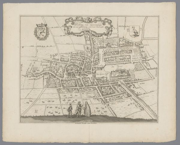
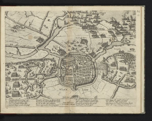
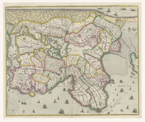
Dimensions: height 515 mm, width 878 mm
Copyright: Rijks Museum: Open Domain
This is Jan Stemmers' map of Heenvliet, a detailed visual representation of land, water, and human settlement. Observe the heraldic imagery and figures in the upper left. This is not merely decoration; it is a symbolic declaration of power and identity. Heraldry, a language of emblems, carries echoes of ancient totemic symbols, signaling lineage and authority. Here, symbols such as the lion can be traced back to ancient Mesopotamia, where it was used to signify royalty and strength. It reappears across cultures from the biblical tribe of Judah to Richard the Lionheart, each time imbued with new layers of meaning while retaining its primal association with power. This visual language, passed down through generations, engages us on a subconscious level. The careful arrangement of elements like animals and human figures isn't accidental, they invoke a collective memory, stirring feelings of pride, loyalty, and perhaps, a sense of longing for a rooted identity. The emotional power of these symbols lies in their ability to resonate with deep-seated human needs for belonging and recognition, regardless of shifting historical contexts.
Comments
No comments
Be the first to comment and join the conversation on the ultimate creative platform.
More like this