1701 - 1729
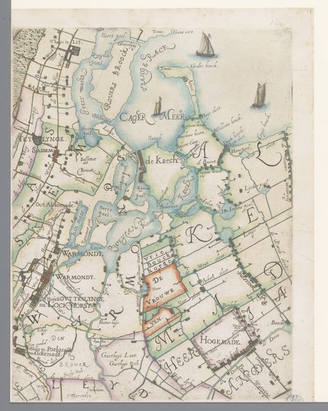
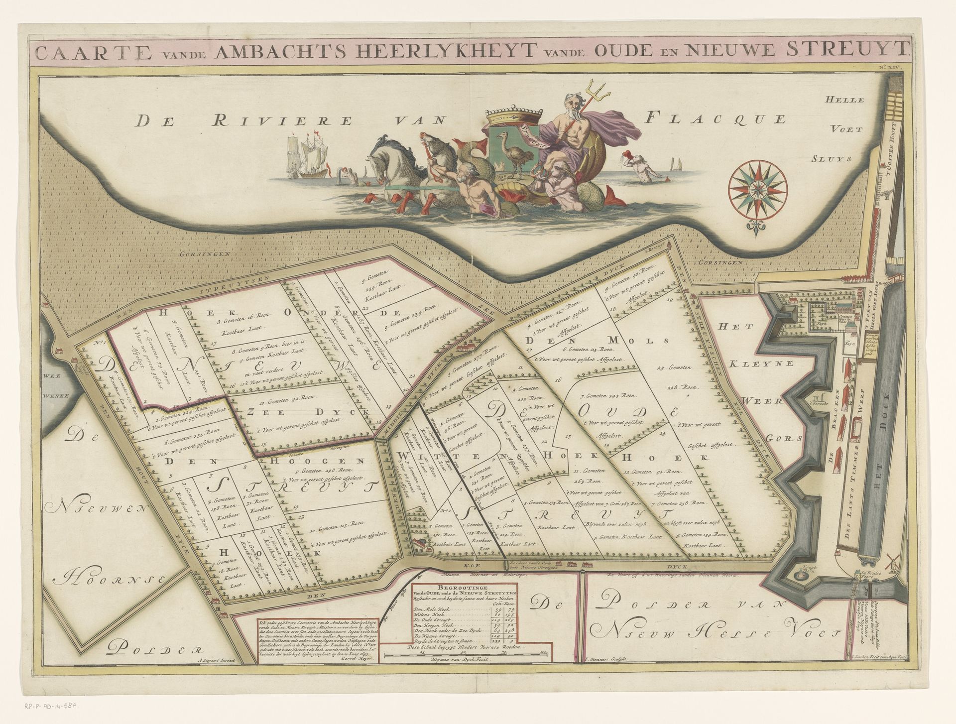
Kaart van de ambachtsheerlijkheid Oude en Nieuwe Struiten
Jan Stemmers
@janstemmersLocation
RijksmuseumListen to curator's interpretation
Curatorial notes
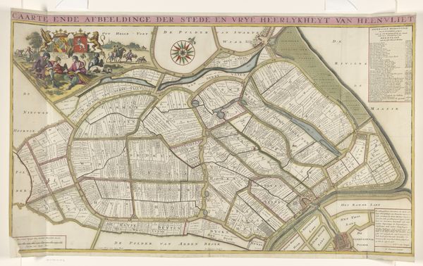
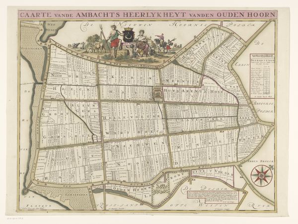
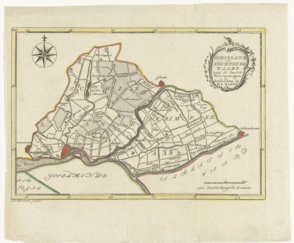
This is a hand-colored map titled "Kaart van de ambachtsheerlijkheid Oude en Nieuwe Struiten," made by Jan Stemmers. It offers a glimpse into the economic and social landscape of the time. These maps weren't just about geography; they were tools of power, defining territories and property. At the time this map was made the Dutch Golden Age was well under way, an era defined by the rise of global trade and the expansion of the Dutch Empire, fueled by the labor and resources extracted from colonized lands. We can consider the map as a document which illustrates land ownership as a form of power within the historical context of colonialism and capitalism. Maps like these embody the complex relationship between people and land, reflecting the ongoing negotiation of identity, history, and power. In its lines and colors, we can see echoes of the larger societal forces that shaped not only the landscape but also the lives of those who inhabited it.