drawing, paper, ink, architecture
#
drawing
#
baroque
#
landscape
#
paper
#
ink
#
architectural drawing
#
cityscape
#
architecture
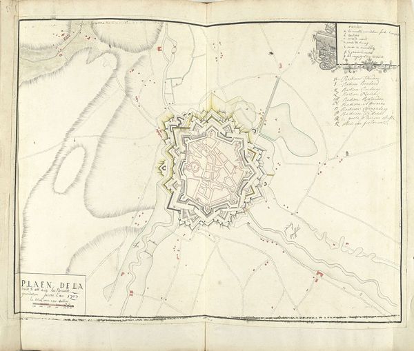
Dimensions: height 525 mm, width 740 mm
Copyright: Rijks Museum: Open Domain
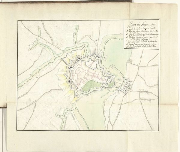
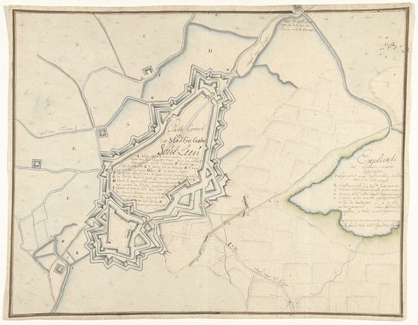
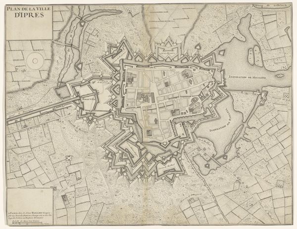
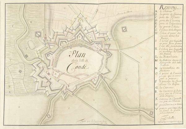
Samuel Du Ry de Champdoré created this hand-drawn map of Geldern between 1701 and 1715, during a period of intense conflict and shifting power dynamics in Europe. This map isn't just a neutral depiction of space. It represents a highly strategic visualization of power. Geldern, located in the Rhineland, was a hotly contested territory, fought over by various European powers. Maps like these were tools of war, used to plan military campaigns and assert territorial claims. Consider how the map emphasizes fortifications and strategic points. These weren't just lines on paper; they represented control over resources, trade routes, and people's lives. It reflects the social and political climate where land ownership was linked to identity and power, influencing who belonged and who was excluded. The emotional weight of this history lingers. It reminds us that even seemingly objective representations are embedded with the values and struggles of their time.
Comments
No comments
Be the first to comment and join the conversation on the ultimate creative platform.
More like this