drawing, print, etching
#
drawing
#
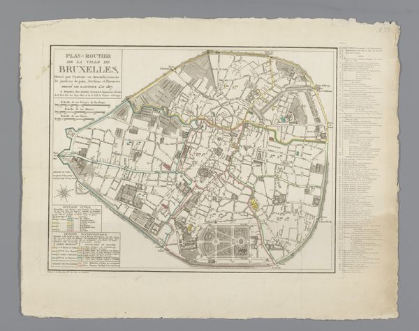
map drawing
# print
#
etching
#
landscape
#
etching
#
geometric
#
pen work
#
history-painting
Dimensions: height 492 mm, width 716 mm
Copyright: Rijks Museum: Open Domain
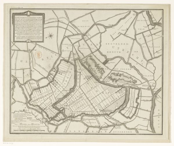
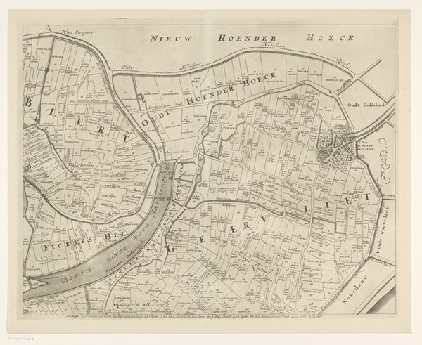
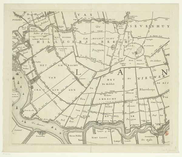
This is a map of Oosterland, though we don’t know when it was made, or by whom. The process is age-old: ink applied to paper, one line at a time. But it’s not the materials that give this image its impact; it's the way they're deployed, with such rigorous accuracy. The map records a landscape fully given over to production. Every parcel of land is measured and accounted for, with the names of landowners carefully inscribed. This wasn't just about wayfinding; it was about control, the transformation of territory into a source of revenue. The map is a visualization of social power. It represents the meticulous division of land, and thus, the division of labor. It’s a reminder that even something as seemingly neutral as a map can be a tool of economic and social ordering, reflecting and reinforcing the structures of its time.
Comments
No comments
Be the first to comment and join the conversation on the ultimate creative platform.
More like this