drawing, ink, architecture
#
drawing
#
ink
#
cityscape
#
architecture
Dimensions: height 370 mm, width 535 mm
Copyright: Rijks Museum: Open Domain
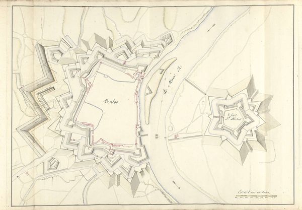
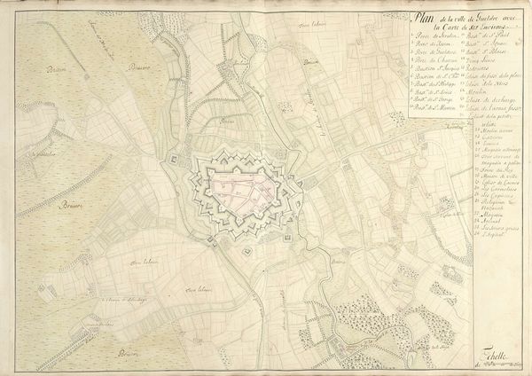
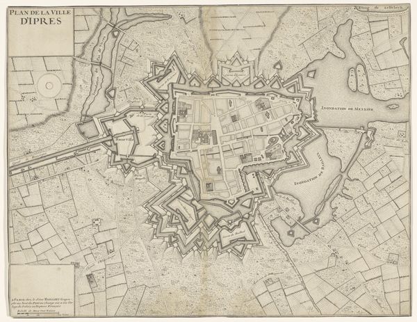
This city plan of Condé, created by Nicolas Suly, presents a bird's-eye view of the town, its design reflecting the strategic importance of urban defense in its time. The star-shaped layout, with its bastions, gates, and canals, is not merely an architectural choice, but a symbolic embodiment of power and control. The star motif, echoed in the town's fortifications, appears throughout history—from ancient Mesopotamian symbols of divinity to heraldic emblems of nobility. This shape, deeply embedded in our collective consciousness, evokes feelings of protection, order, and dominance. Consider how the human psyche is drawn to radial symmetry, perceiving it as a sign of stability and strength. As time has passed, the star's meaning has transformed, yet its psychological impact remains. Its appearance in this map illustrates a moment when military might sought to manifest itself through geometry, influencing not only the landscape but also the minds of those who lived within it. Through this map, we see the enduring legacy of symbols, shaped by history, memory, and our own subconscious perceptions.
Comments
No comments
Be the first to comment and join the conversation on the ultimate creative platform.
More like this