print, engraving
#
baroque
# print
#
cityscape
#
engraving
Dimensions: height 387 mm, width 477 mm
Copyright: Rijks Museum: Open Domain
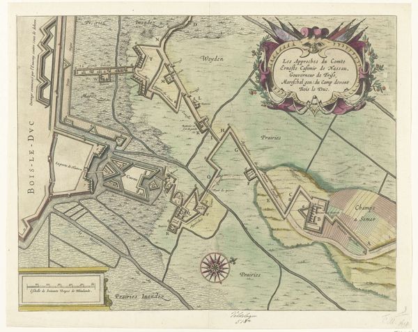
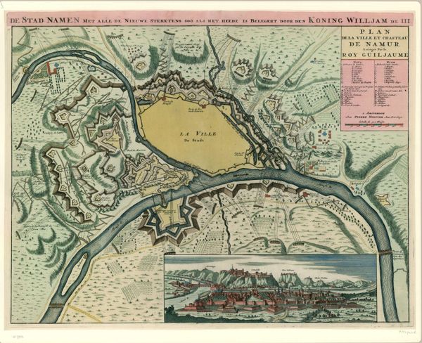
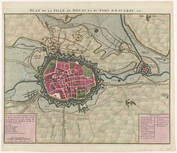
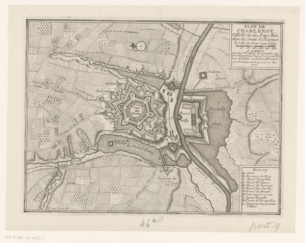
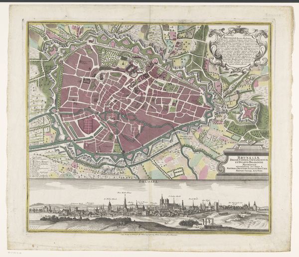
Pieter van Call the Younger created this map of the siege of Menen in 1706. It captures a moment of intense conflict during the War of the Spanish Succession. Maps like these were not just about geography; they were tools of power. They detail military strategies, defenses, and the control of territory. Understanding this map means recognizing the social and political tensions of early 18th-century Europe. Who had the power to commission and control this imagery, and whose lives were most affected by the events depicted? Notice the precision with which the fortifications are rendered. Maps were a form of propaganda, designed to impress and intimidate. What alternative narratives might emerge if we considered the perspective of the soldiers, or the civilians of Menen? It is a stark reminder of the human cost of conflict, a narrative often lost in the grand sweep of military history.
Comments
No comments
Be the first to comment and join the conversation on the ultimate creative platform.
More like this