graphic-art, print, paper, engraving
#
graphic-art
#
dutch-golden-age
# print
#
landscape
#
paper
#
geometric
#
line
#
engraving
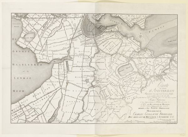
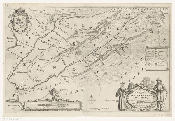
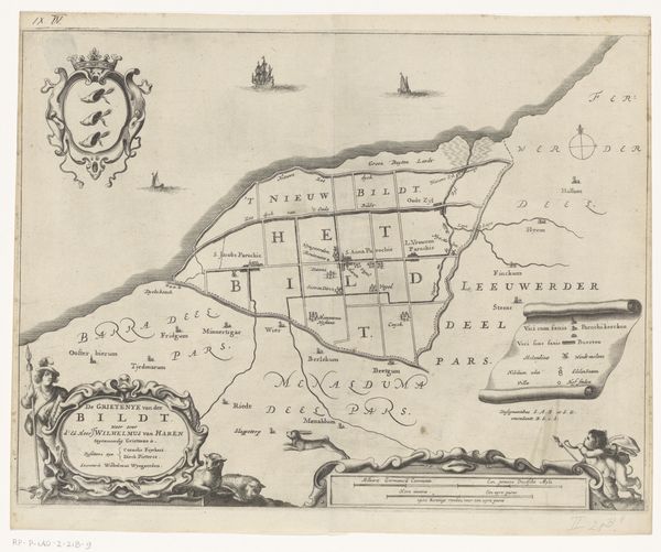
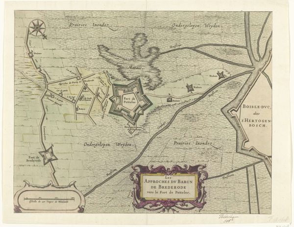
Dimensions: height 378 mm, width 529 mm
Copyright: Rijks Museum: Open Domain
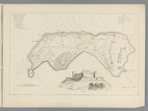
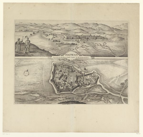
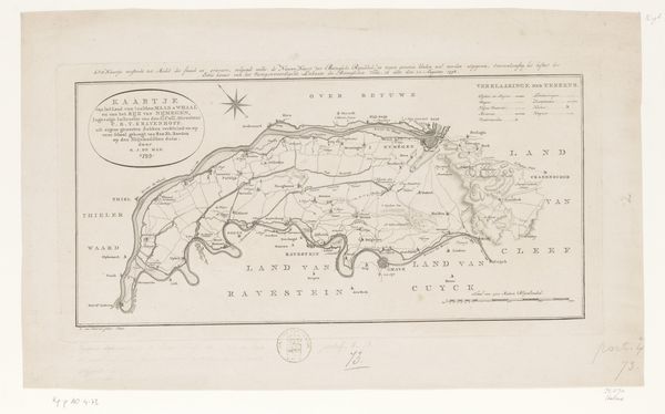
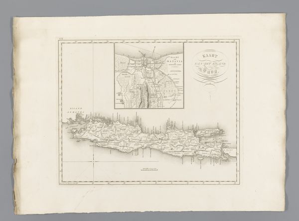
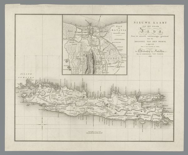
This detailed map of the Gold Coast, now Ghana, was made by C. van Baarsel en Zoon. Maps like this weren’t just about geography; they were tools of empire. European powers used them to chart resources, plan trade routes, and assert control over distant lands. This map reflects the intense competition between European nations for access to the Gold Coast’s resources, especially gold and unfortunately enslaved people. You can see the names of various settlements and trading posts, each a site of complex interactions between Europeans and Africans. The level of detail suggests the mapmaker relied on both existing geographic knowledge and first-hand accounts from sailors, traders, and colonial administrators. To fully understand this image, we can consult archival documents, travelogues, and other historical sources that shed light on the colonial history. Maps like this can teach us about the power dynamics of the time, and the way knowledge itself was used as a tool of control.
Comments
No comments
Be the first to comment and join the conversation on the ultimate creative platform.
