print, engraving
# print
#
asian-art
#
landscape
#
engraving
Dimensions: height 162 mm, width 794 mm
Copyright: Rijks Museum: Open Domain
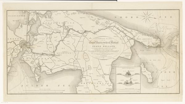
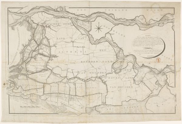
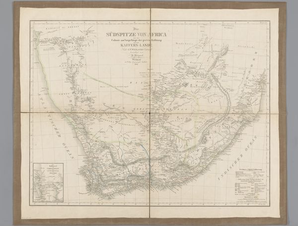
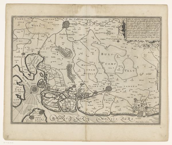
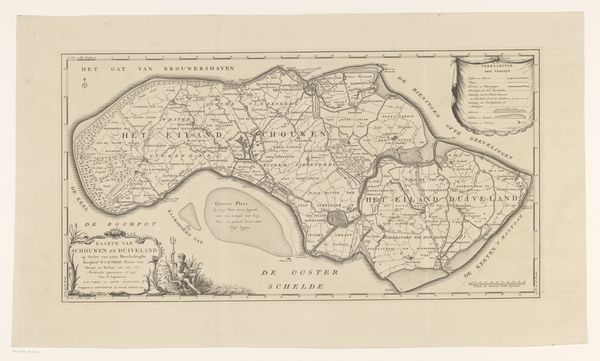
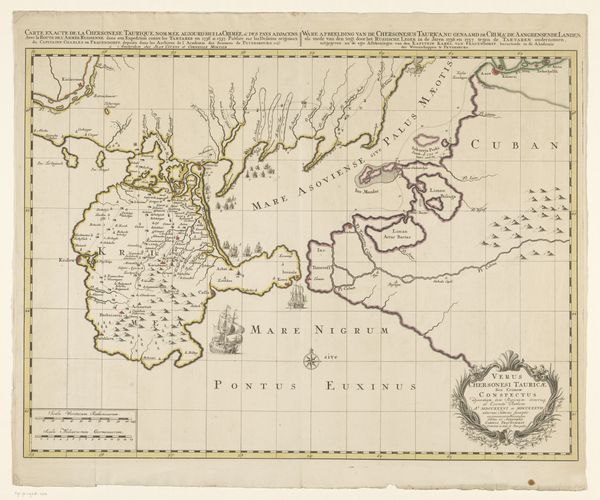
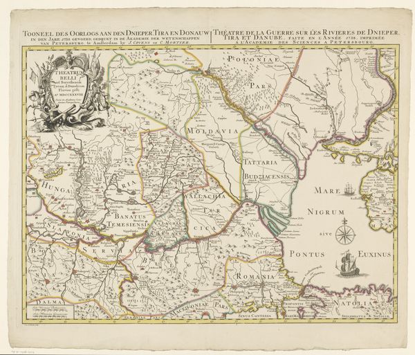
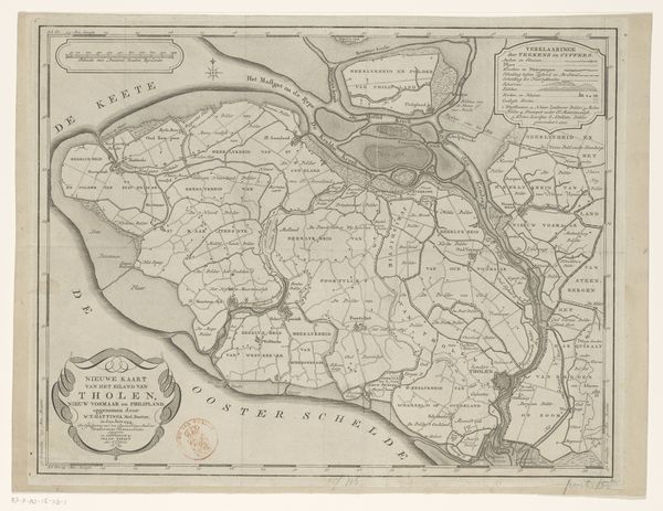
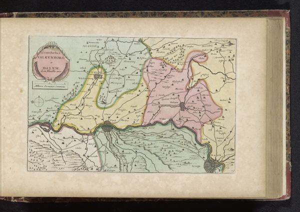
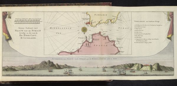
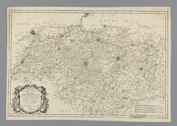
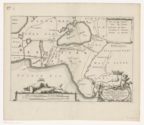
This is a map of Java and Bali, made anonymously and printed without a date. Such cartographic works are never simply neutral representations of geography; they reflect the cultural and political perspectives of their creators and intended audiences. This map likely emerged during a period of heightened European interest in Southeast Asia, driven by colonial ambitions and trade interests. The detailed mapping of Java and Bali would have served practical purposes for navigation, resource extraction, and military campaigns. The visual codes employed in the map, such as the use of color to demarcate regions and symbols to denote settlements, carry cultural and historical associations. To understand the map fully, it's crucial to consult historical archives, travelogues, and other primary sources. These resources shed light on the social and institutional context in which the map was produced, revealing its role in shaping perceptions of the region. The map is not just a geographical tool but also a statement of power and knowledge.
Comments
No comments
Be the first to comment and join the conversation on the ultimate creative platform.
