drawing, print, paper, engraving, architecture
#
architectural sketch
#
drawing
#
aged paper
# print
#
old engraving style
#
architectural diagram
#
architectural plan
#
landscape
#
paper
#
elevation plan
#
architectural section drawing
#
architectural drawing
#
architecture drawing
#
architectural proposal
#
engraving
#
architecture
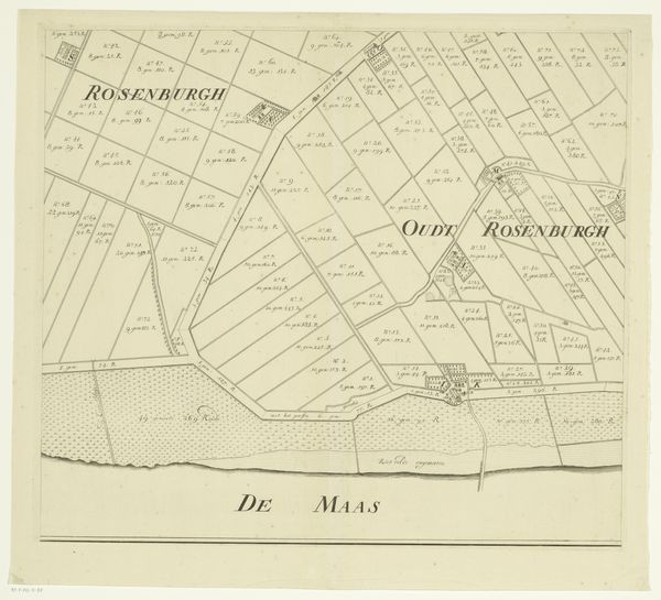
Dimensions: height 497 mm, width 569 mm
Copyright: Rijks Museum: Open Domain
This is an unauthored map of the island Rozenburg, rendered with pen and ink. Maps aren't neutral documents; they reflect the power dynamics of their time. Rozenburg, part of the Netherlands, has a history deeply entwined with land reclamation and engineering. This map invites us to consider the relationship between identity, land, and power. The act of mapping itself asserts control, dividing the land into parcels and defining ownership. Who was included in this vision, and who was excluded? The map presents an ordered, rational view of the island, yet it elides the labor and lives of those who shaped it. It prompts us to reflect on the human cost of progress and the erasure of marginalized communities. It’s important to consider how these landscapes become part of national identity, and to ask, whose identity is being represented? Maps like these played a role in shaping not only the physical landscape but also the social and political landscape, influencing who could claim belonging and who was left out.
Comments
No comments
Be the first to comment and join the conversation on the ultimate creative platform.
More like this