print, engraving
#
dutch-golden-age
# print
#
linocut print
#
geometric
#
cityscape
#
engraving
Dimensions: height 405 mm, width 512 mm
Copyright: Rijks Museum: Open Domain
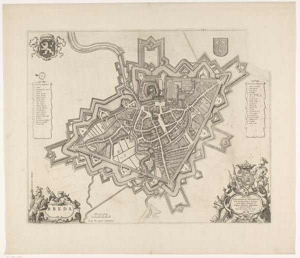
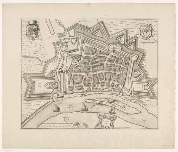
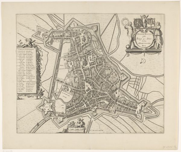
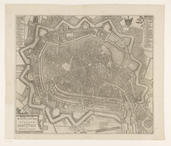
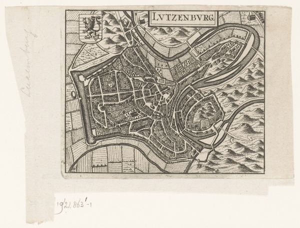
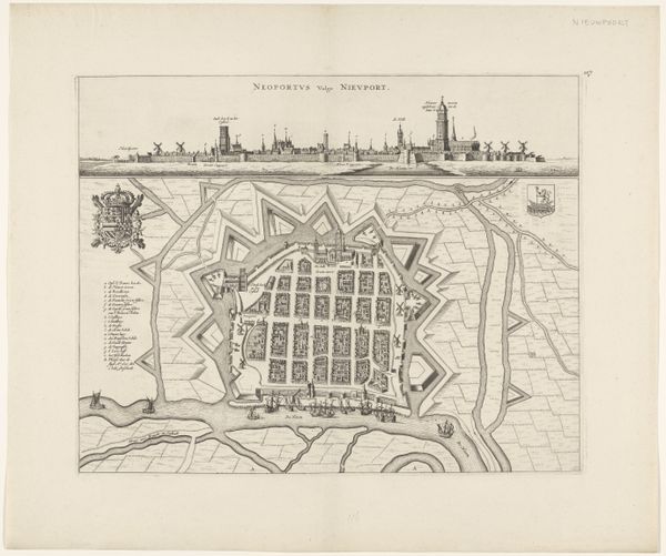
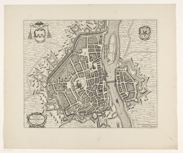
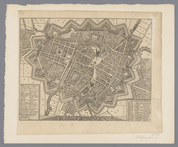
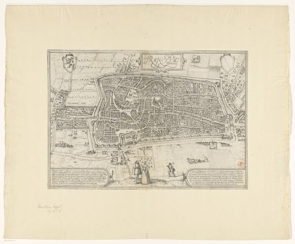
This is an anonymous map of Zwolle, made using engraving. Looking at the image, you can see how Zwolle’s fortifications shaped its urban development. The star-shaped moats weren't just about defence; they were potent symbols of power, visually communicating Zwolle’s status within the region. Maps weren't merely geographical tools, they were instruments of governance. By meticulously charting the city, authorities asserted control, making Zwolle legible, manageable, and taxable. This map is a product of its time, shaped by the complex interplay of military strategy, urban planning, and civic identity. Historians turn to archival records, urban plans, and contemporary accounts to decode such images. These resources help us understand how Zwolle evolved and how its inhabitants navigated the intricate web of power relations encoded within the city's very structure.
Comments
No comments
Be the first to comment and join the conversation on the ultimate creative platform.
More like this