About this artwork
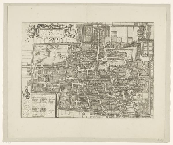
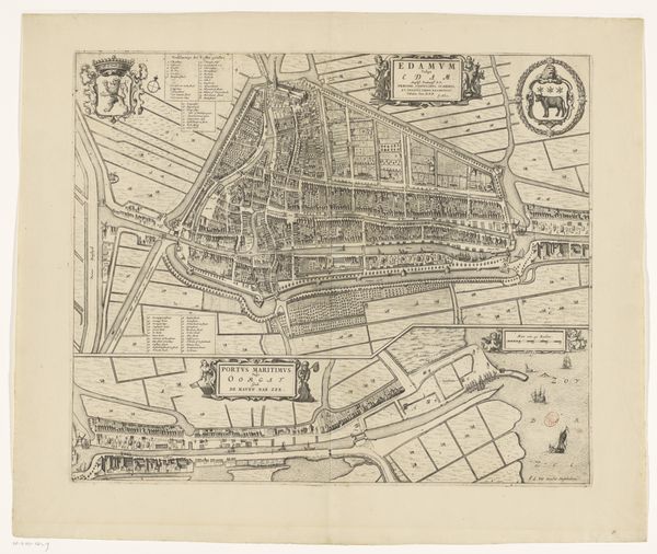
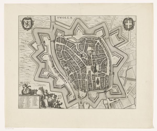
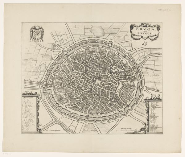
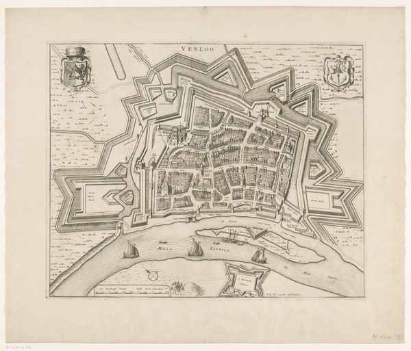
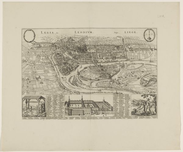
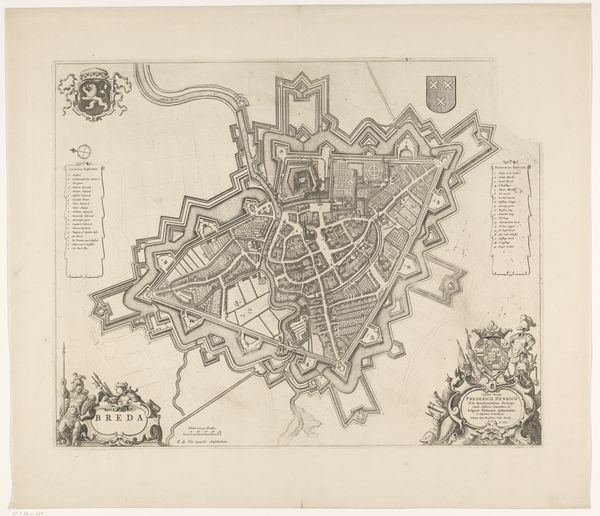
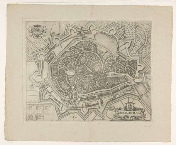
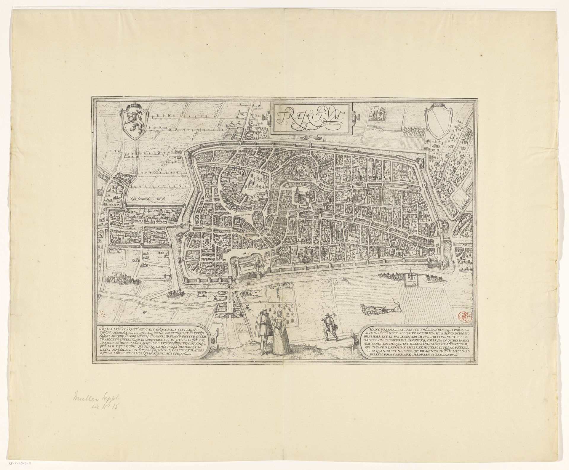
This is Frans Hogenberg's "Plattegrond van de stad Utrecht" from around 1570-1590, a detailed engraving offering a bird's-eye view of the city. The artwork presents a structured vision, where each building and street is meticulously rendered, creating a dense tapestry of urban life. Look at how Hogenberg uses line and form to create a sense of depth and order. The city is encircled by defensive walls, emphasizing its structured and fortified nature. Open spaces and fields outside the city walls provide a stark contrast to the urban density within. The print blends cartographic precision with artistic expression. As the early modern period witnessed the rise of print culture, Hogenberg’s detailed work embodies the era’s emphasis on knowledge, observation, and the visual representation of space. It invites us to consider how the period's inhabitants perceived and represented their world. Consider how this map functions both as a practical tool and a symbol of power, reflecting the period's changing relationship between knowledge, space, and representation.
Artwork details
- Medium
- print, etching, ink
- Dimensions
- height 333 mm, width 480 mm
- Location
- Rijksmuseum
- Copyright
- Rijks Museum: Open Domain
Tags
Comments
Share your thoughts
About this artwork
This is Frans Hogenberg's "Plattegrond van de stad Utrecht" from around 1570-1590, a detailed engraving offering a bird's-eye view of the city. The artwork presents a structured vision, where each building and street is meticulously rendered, creating a dense tapestry of urban life. Look at how Hogenberg uses line and form to create a sense of depth and order. The city is encircled by defensive walls, emphasizing its structured and fortified nature. Open spaces and fields outside the city walls provide a stark contrast to the urban density within. The print blends cartographic precision with artistic expression. As the early modern period witnessed the rise of print culture, Hogenberg’s detailed work embodies the era’s emphasis on knowledge, observation, and the visual representation of space. It invites us to consider how the period's inhabitants perceived and represented their world. Consider how this map functions both as a practical tool and a symbol of power, reflecting the period's changing relationship between knowledge, space, and representation.
Comments
Share your thoughts