graphic-art, print, etching, engraving
#
graphic-art
#
rippled sketch texture
#
aged paper
#
naturalistic pattern
#
dutch-golden-age
# print
#
etching
#
old engraving style
#
landscape
#
etching
#
pen-ink sketch
#
pen work
#
coloring book page
#
engraving
#
botanical art
#
intricate and detailed
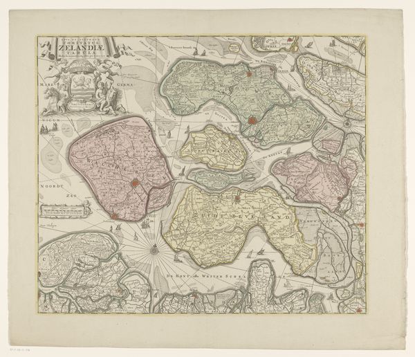
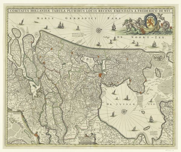
Dimensions: height 501 mm, width 575 mm
Copyright: Rijks Museum: Open Domain
This is an anonymous map of Zeeland. Note the compass rose, orienting the viewer not only geographically, but also symbolically, towards discovery and navigation. Observe how this symbol has persisted through time. Long before this map, the compass rose appeared in nautical charts and cosmological diagrams. It was more than a tool; it was a symbol of humanity's quest to understand and master the world. The eight winds, radiating from the center, often took on mythological and religious associations. The Greeks saw them as gods, and in Christian symbolism, they were associated with the Holy Spirit, guiding believers through the world. This Zeeland map is not just a tool for navigating waters, but an assertion of control, a symbolic act of claiming dominion over the land and sea. The compass rose, therefore, is an echo, resonating with ancient desires for order, knowledge, and control. It is a persistent psychological and cultural force, continuing to shape our understanding of space and our place within it.
Comments
No comments
Be the first to comment and join the conversation on the ultimate creative platform.
More like this