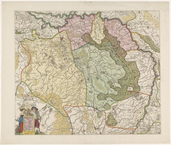
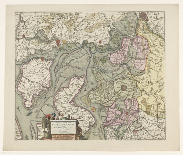
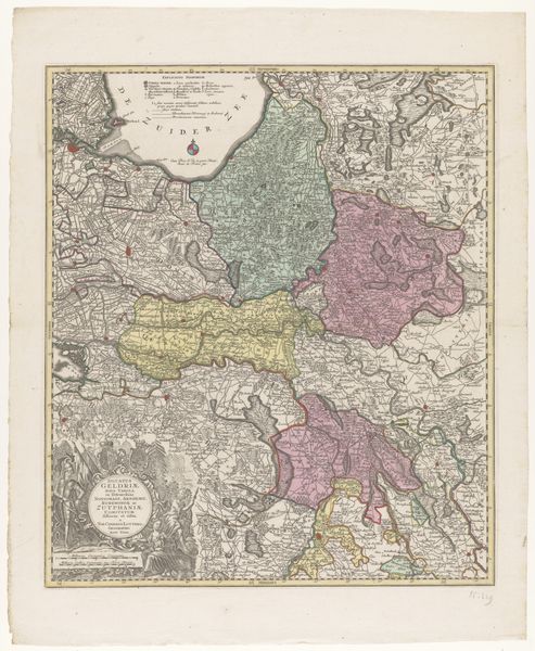
graphic-art, print, etching
#
graphic-art
#
dutch-golden-age
# print
#
etching
#
etching
#
watercolor
Dimensions: height 491 mm, width 565 mm
Copyright: Rijks Museum: Open Domain
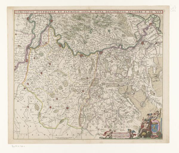
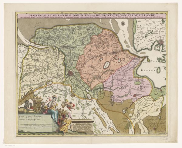
This is an undated map of the county of Zutphen, made by an anonymous artist using etching techniques. Maps are rarely neutral, and this one reflects the cultural and political moment of its creation. In a time of territorial disputes and emerging national identities, maps were powerful tools. They were used to define, claim, and control land. The detailed depiction of the landscape speaks to an impulse to master and organize the natural world through the very act of mapping. Notice the decorative elements, like the figures in the corner. How do these details contribute to the map's message? Are they simply aesthetic, or do they reinforce a particular view of the region and its people? This map isn't just about geography; it's about power, knowledge, and representation. It invites us to consider whose perspective is being shown, and whose is being left out.
Comments
No comments
Be the first to comment and join the conversation on the ultimate creative platform.
More like this