print, engraving
#
baroque
# print
#
engraving
Dimensions: height 510 mm, width 583 mm
Copyright: Rijks Museum: Open Domain
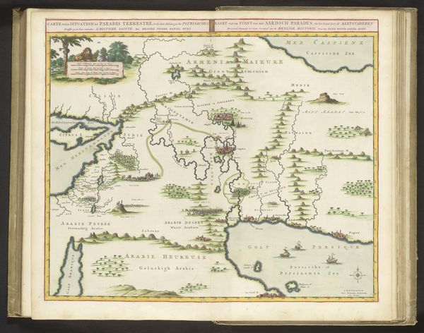
Curator: Here we have a 1746 map titled "Kaart van het graafschap Namen," or "Map of the County of Namur." It's an engraving and print created by an anonymous artist, currently held in the collection of the Rijksmuseum. Editor: Wow, it's incredibly detailed. Look at all the little towns and forests rendered with such delicate lines. There’s a certain poetry in these old maps, an artistic endeavor mingled with a functional purpose, almost a dreamscape of a territory! Curator: Absolutely. Maps in the Baroque period were about more than just geographical accuracy; they were also displays of power, knowledge, and, as you said, artistic skill. The ornate cartouches, the carefully rendered landscapes—it’s all designed to impress. It reflects the political ambitions of the era, the control of territory, the rise of the bureaucratic state… Editor: And the romanticization of nature! All those swirling, stylized forests suggest a primal wilderness, almost like it could hide mythical beasts or perhaps a gang of stagecoach bandits. You know, those hills remind me a little of the rolling hills from childhood fairy tales… Curator: That speaks to the dual function of these maps. Yes, they were tools of governance and trade, but also objects of aesthetic appreciation, sometimes even meant to be framed and displayed as status symbols in libraries or offices. Their very making relied on an entire complex apparatus of geographical surveys, commerce in geographical information and skilled artisanal work in printing and engraving. Editor: There's such a rich texture too—so much hatching and cross-hatching to create tonal variations and definition, yet so controlled. What surprises me is this delicate balance of precision and the artistic flair, which reminds me a lot of architectural renderings from that time! It makes the image feel dynamic. Curator: These maps circulated within elite political and mercantile circles, not so different than architectural drawings really. This "Kaart van het graafschap Namen" reflects the culture of knowing, owning, and visualizing the territory under your influence. Its existence as an artistic object, I think, is almost secondary to its role as a symbol. Editor: I get what you mean; there’s an element of possession imbued into this rendering. Even though I'm not from the region depicted, I do think looking at this sort of material is a meditation about humanity’s desire to codify, organize and interpret its surroundings! Curator: Precisely. These weren't simply navigation tools; they were embodiments of power and ambition cast into a very specific material form. Editor: This map offers a layered vision – not just of a landscape, but of a culture, its priorities and dreams etched into a flat plane!
Comments
No comments
Be the first to comment and join the conversation on the ultimate creative platform.
More like this