drawing, ink
#
pen and ink
#
landscape illustration sketch
#
drawing
#
map drawing
#
baroque
#
landscape
#
ink
#
pen work
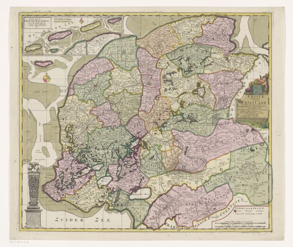
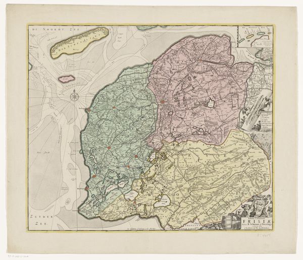
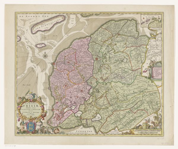
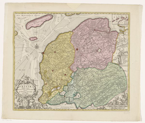
Dimensions: height 525 mm, width 606 mm
Copyright: Rijks Museum: Open Domain
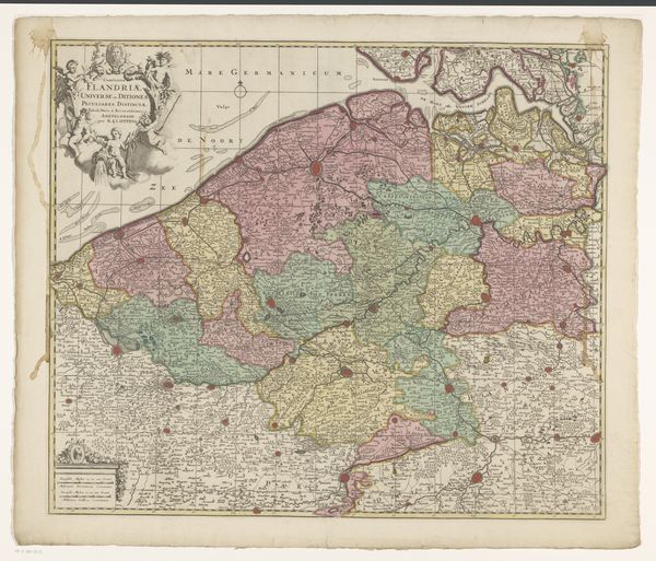
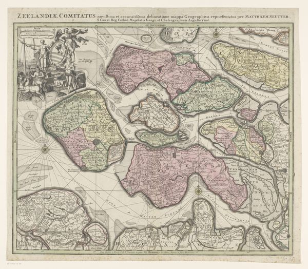
Curator: This work, simply titled "Kaart van Friesland", dates back to around 1703. Crafted by an anonymous artist, it’s an ink drawing currently held in the Rijksmuseum collection. Editor: It's intriguing! I am immediately struck by the overall feeling of detailed yet somewhat dreamlike precision. The fine lines, the almost faded colors – they lend a sense of history but also imagination. It's as much an artifact as it is a piece of artistry. Curator: Absolutely. Think about the historical context here. Cartography wasn't just about geographical accuracy; it was tied to power, knowledge, and territorial claims. Creating a map involved deeply understanding not only the land but also its social and political landscape. Who controlled which territories? What resources were there? This map offered answers to many important questions. Editor: The penmanship is really gorgeous too, almost calligraphic. Do you think the act of creating something so precisely by hand changed the way the mapmaker viewed the landscape itself? Curator: That’s a compelling question! Manual cartography necessitated an intimate connection with the territory, informing social relations of space, land use, and economic exploitation. The maker had to translate observation into representation through a deliberate and laborious process, that must have definitely colored their vision. It certainly speaks to the value placed on skill and precision. Editor: There’s almost something...poetic about this kind of labor and detail. Today we just pull up Google Maps in seconds. It's practical, but lacking a sense of personality, or this tactile, intimate engagement. It does, ironically, reveal something about our values doesn't it? Speed vs. dedication? Curator: Precisely! The labor that made maps also represented existing and potential structures of land ownership and sovereignty, providing evidence in territorial disputes, tax obligations, property boundaries, and administrative divisions. This level of intricacy reveals priorities. Editor: It's a gorgeous and important piece that gives us insights into power, landscape, and labor. I wonder what it tells us about the Friesland region and its identity today? Curator: Hopefully, it compels us to question the role that power, visuality, and space continue to play in contemporary life. Editor: I hope so, too. It's quite interesting what historical perspectives can inspire within us now.
Comments
No comments
Be the first to comment and join the conversation on the ultimate creative platform.
More like this