print, engraving
#
medieval
#
baroque
# print
#
old engraving style
#
geometric
#
cityscape
#
engraving
Dimensions: height 227 mm, width 285 mm
Copyright: Rijks Museum: Open Domain
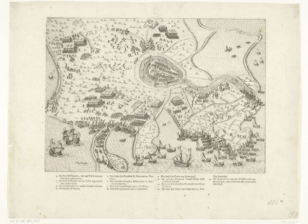
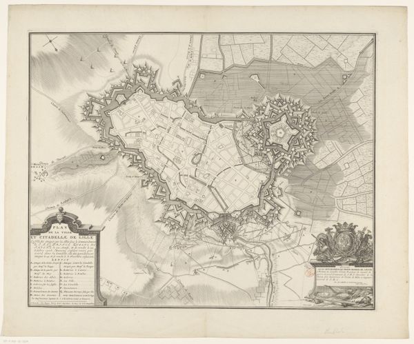
This is an anonymous plan of Bergen, made with pen and ink. It presents us with a bird's-eye view of the city, heavily fortified with star-shaped bastions, which are designed to offer maximum protection. The bastions are potent symbols of security and power, reflecting a deep-seated human desire for protection. Similar geometric fortifications appear throughout history, from ancient Roman castra to Renaissance fortresses. The psychological impact of these forms is immense: they represent an almost primal urge to defend against the unknown. Yet, even these powerful symbols of security are not static. As siege technology advanced, the forms evolved, revealing a continuous cycle of adaptation and response. The memory of past threats shapes present defenses, an ongoing dialogue between fear and security. The emotional resonance of such images lies in their simultaneous representation of safety and vulnerability, triggering a deep, subconscious understanding of the cyclical nature of conflict and protection.
Comments
No comments
Be the first to comment and join the conversation on the ultimate creative platform.
More like this