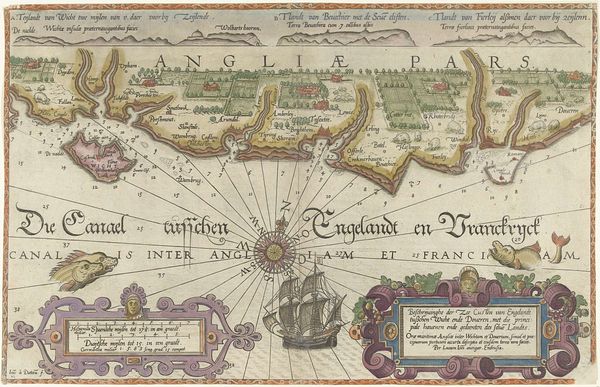
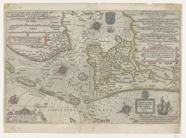
Kaart van de kusten van Vlaanderen, Normandië en Engeland 1580 - 1581
0:00
0:00
joannesvanidoetechum
Rijksmuseum
graphic-art, print, engraving
#
graphic-art
# print
#
landscape
#
geometric
#
cityscape
#
northern-renaissance
#
engraving
Dimensions: height 320 mm, width 512 mm
Copyright: Rijks Museum: Open Domain
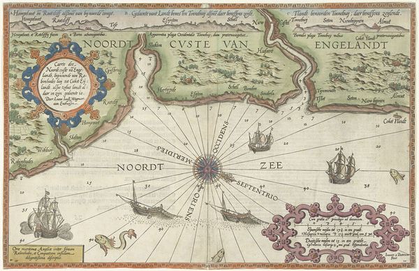
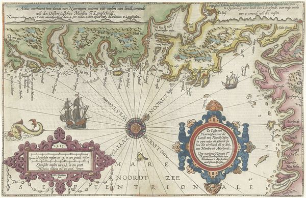
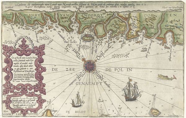
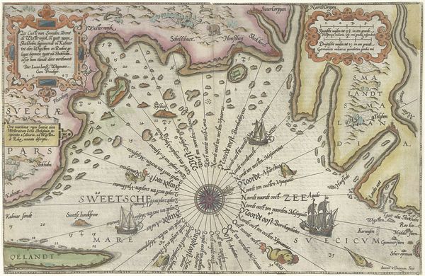
This map of the coasts of Flanders, Normandy and England was made by Joannes van Doetechum in the late 16th century. It is an engraving, a printmaking process that involves incising an image onto a metal plate, which is then inked and pressed onto paper. The fine, precise lines characteristic of engraving were essential for creating the details of coastlines, harbors, and navigational markings. But this wasn't just a technical exercise; it was a crucial tool for trade and empire-building. The materiality of the map – the metal plate and the paper – speaks to the expanding world of commerce and exploration. It reflects a world where precision, accuracy, and dissemination of information were paramount. The map’s decorative elements, such as the compass rose and cartouches, highlight the skilled labor involved in its production. This wasn't just mass manufacture. It was the skilled work of Doetechum, a specialist engraver, blending artistry with cartographic science to create an object that was both functional and beautiful.
Comments
No comments
Be the first to comment and join the conversation on the ultimate creative platform.
More like this