print, etching, engraving
#
baroque
# print
#
etching
#
landscape
#
etching
#
engraving
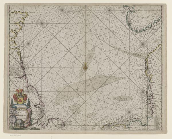
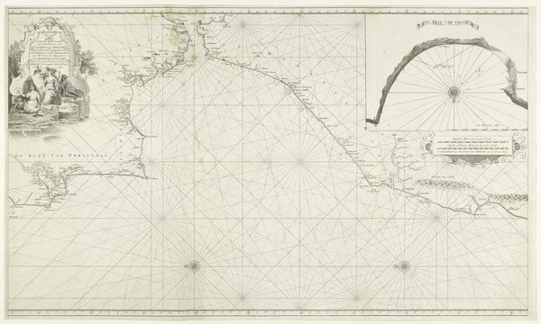
Dimensions: height 536 mm, width 628 mm
Copyright: Rijks Museum: Open Domain
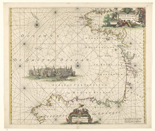
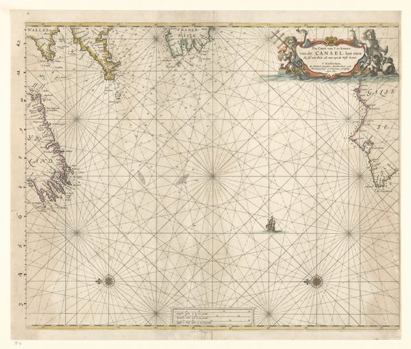
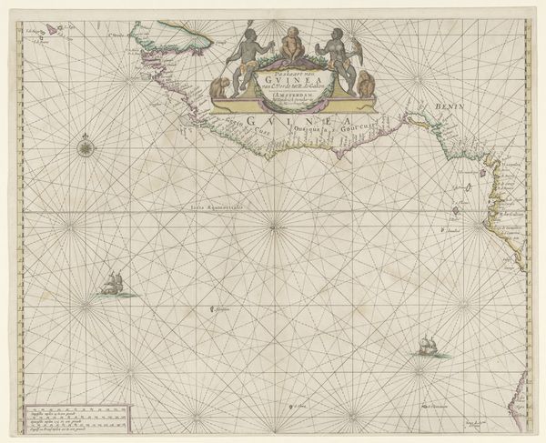
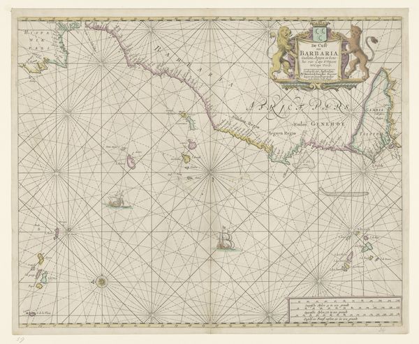
This is Johannes Leupenius’s map of the coast between Calais and Cadiz, made in the late 17th century, during a time of intense maritime exploration and colonial expansion. Leupenius’s map reflects the geopolitical interests of his time, focusing on coastal areas critical for trade and naval power. Notice how the detailed depiction of coastlines contrasts with the imagined scenes of encounters with indigenous populations. The very act of mapping was deeply intertwined with asserting power and control over distant lands. European cartographers like Leupenius played a role in constructing a world view that placed Europe at its center. As you look closer, consider how maps such as this one not only charted geographical territories, but also mapped out power dynamics, cultural biases, and narratives of dominance that continue to resonate today. Think about the stories that maps tell, and whose perspectives are prioritized in these representations.
Comments
No comments
Be the first to comment and join the conversation on the ultimate creative platform.
More like this