About this artwork
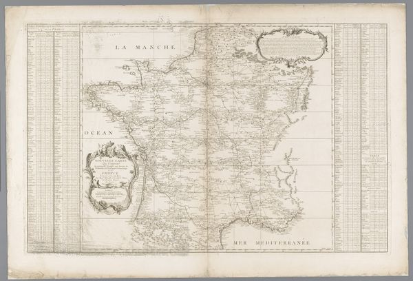
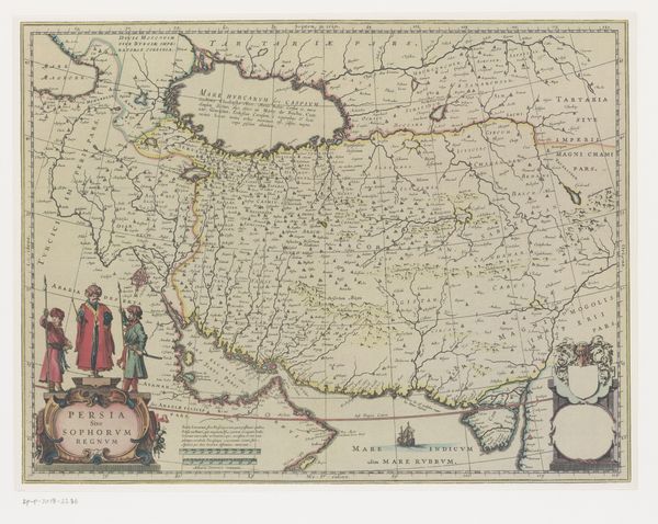
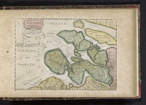
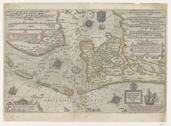
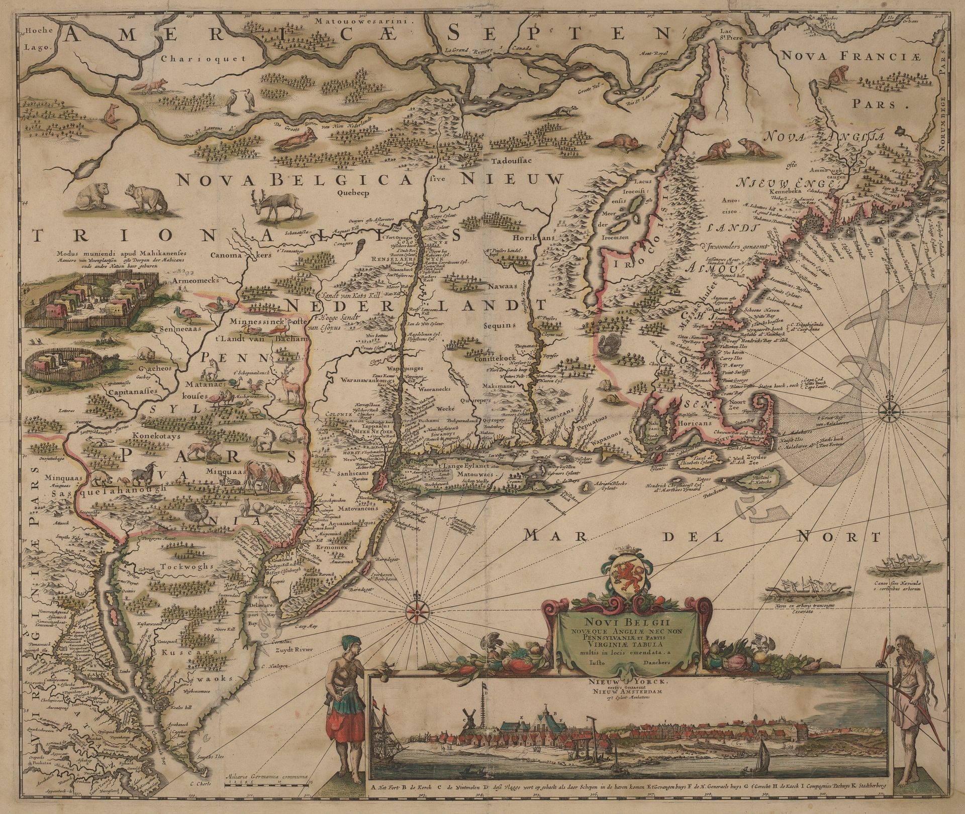
This map of North America, titled "Americae Septentrionalio," was made in the late 17th century by Justus Danckerts, using engraving techniques on paper. The crisp lines and intricate details were achieved through skilled labor, reflecting the precision of the engraver's craft. The process of making the map involved incising lines onto a metal plate, inking it, and then pressing it onto paper to create a print. Each stage required technical knowledge, physical effort, and meticulous attention. Beyond its function, the map serves as a historical document, reflecting the social and political context of its time. It is a testament to exploration, trade, and the burgeoning global economy, but also represents a specific worldview of the time, and of the colonial powers' vision. Recognizing the labor and materials involved, enriches our understanding of the map's role in shaping perceptions and influencing interactions between different cultures and societies. It challenges us to consider the power dynamics inherent in representation and the impact of such images on shaping historical narratives.
Americae Septentrionalio c. 1690
Artwork details
- Medium
- print, engraving
- Dimensions
- sheet: 53.5 × 63 cm (21 1/16 × 24 13/16 in.) plate: 46.3 × 55.2 cm (18 1/4 × 21 3/4 in.)
- Copyright
- National Gallery of Art: CC0 1.0
Tags
baroque
dutch-golden-age
landscape
cityscape
engraving
Comments
No comments
About this artwork
This map of North America, titled "Americae Septentrionalio," was made in the late 17th century by Justus Danckerts, using engraving techniques on paper. The crisp lines and intricate details were achieved through skilled labor, reflecting the precision of the engraver's craft. The process of making the map involved incising lines onto a metal plate, inking it, and then pressing it onto paper to create a print. Each stage required technical knowledge, physical effort, and meticulous attention. Beyond its function, the map serves as a historical document, reflecting the social and political context of its time. It is a testament to exploration, trade, and the burgeoning global economy, but also represents a specific worldview of the time, and of the colonial powers' vision. Recognizing the labor and materials involved, enriches our understanding of the map's role in shaping perceptions and influencing interactions between different cultures and societies. It challenges us to consider the power dynamics inherent in representation and the impact of such images on shaping historical narratives.
Comments
No comments