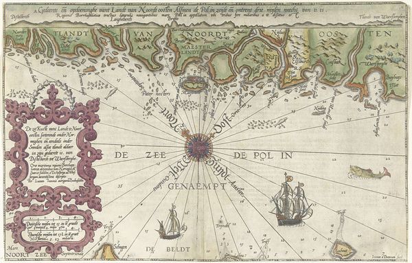
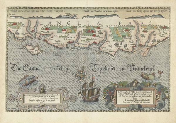
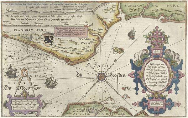
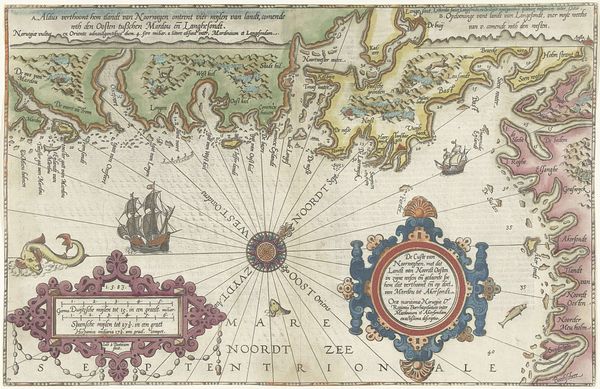
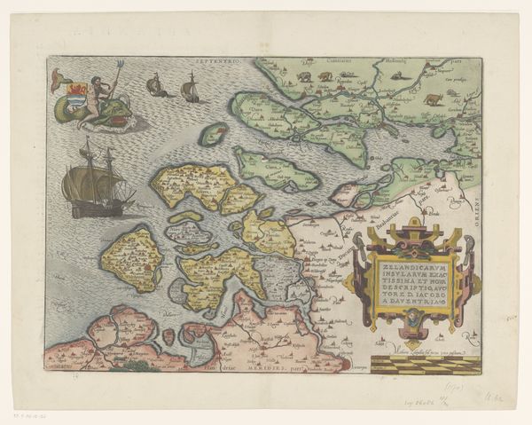
Kaart van de Engelse kust tussen de Isle of Wight en Dover 1580 - 1583
0:00
0:00
joannesvanidoetechum
Rijksmuseum
print, engraving
#
pen drawing
# print
#
pen illustration
#
pen sketch
#
landscape
#
personal sketchbook
#
sketchwork
#
pen and pencil
#
pen work
#
sketchbook drawing
#
storyboard and sketchbook work
#
early-renaissance
#
sketchbook art
#
engraving
Dimensions: height 325 mm, width 510 mm
Copyright: Rijks Museum: Open Domain
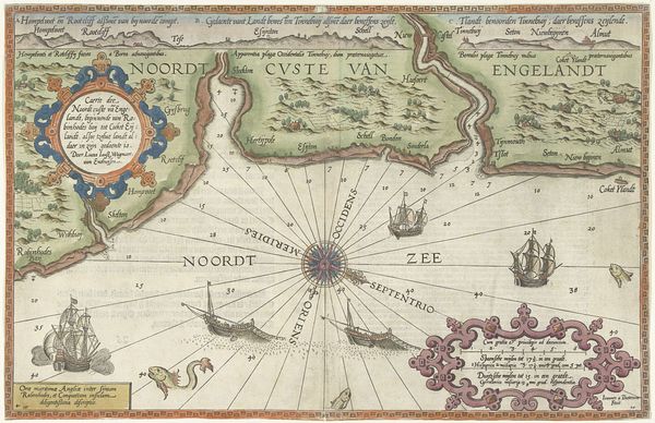
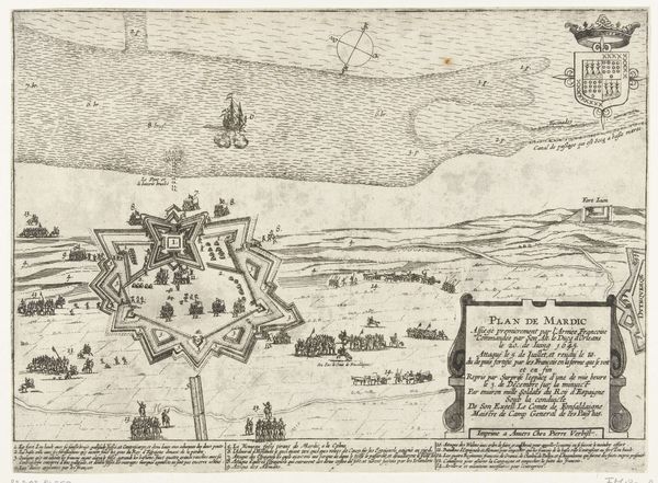
This is Joannes van Doetechum’s map of the English coast between the Isle of Wight and Dover, likely made around the late 16th century. The image strikes us with its elaborate composition, ornate frames and dynamic interplay of spatial representation and symbolic elements. Van Doetechum’s map is a symbolic and representational artifact that fuses empirical observation with cultural and rhetorical strategies. The radiating lines emanating from the compass rose serve not only practical navigational purposes but also function as a structuring device that orders space and knowledge. Furthermore, the decorative cartouches framing textual information and the inclusion of sea monsters and sailing ships enrich the map's symbolic dimensions. The dialectical tension between scientific accuracy and aesthetic presentation underscores a cultural negotiation between empirical inquiry and symbolic representation. We are left to consider how the image engages with the evolving discourses of geography, power, and representation in early modern Europe.
Comments
No comments
Be the first to comment and join the conversation on the ultimate creative platform.
More like this