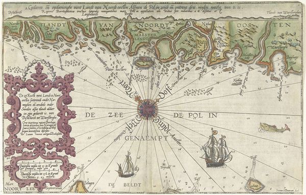
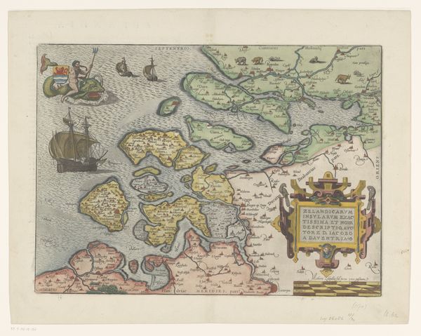
Kaart van de kust van Noorwegen en Zweden tussen Merdøy en Uddevalla 1580 - 1583
0:00
0:00
joannesvanidoetechum
Rijksmuseum
print, etching, engraving
# print
#
etching
#
landscape
#
11_renaissance
#
history-painting
#
northern-renaissance
#
engraving
Dimensions: height 330 mm, width 515 mm
Copyright: Rijks Museum: Open Domain
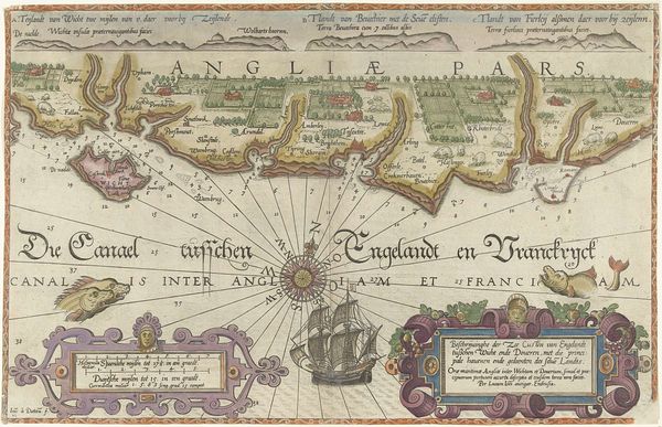
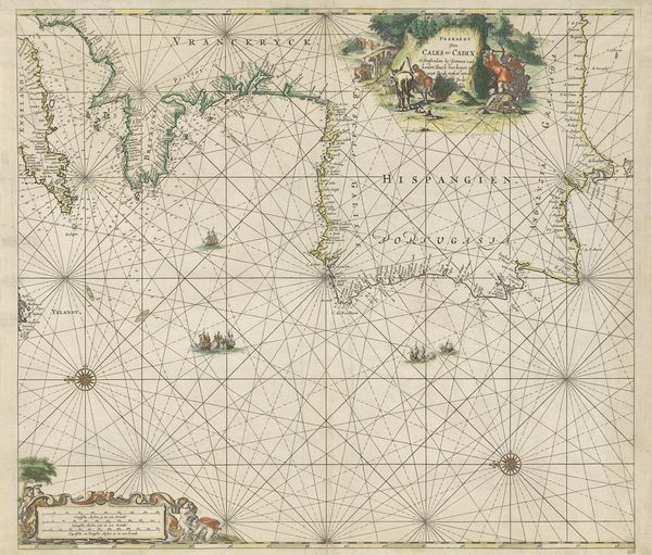
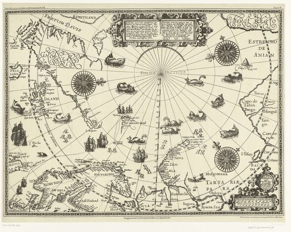
Joannes van Doetechum created this map of the coast of Norway and Sweden as an engraving around the 16th century. Its fine detail reminds us that map-making was a tool of empire. Cartography served an important function in the emerging mercantile system of 16th century Europe. As expanding trade networks sought new markets and raw materials, accurate navigation became increasingly essential. The Dutch Republic, a major maritime power, invested heavily in cartography. It provided essential information for trade and military endeavors. This map is more than a practical tool; it's a declaration of Dutch mastery of the seas. The elaborate ornamentation speaks to the cultural values of the time, reflecting both scientific curiosity and a drive for commercial expansion. As art historians, we recognize the biases inherent in such images. By studying archives and trade records, we can understand the political and economic motivations behind these objects. These historical contexts enable us to interpret the true meaning of art.
Comments
No comments
Be the first to comment and join the conversation on the ultimate creative platform.
More like this