print, paper, ink, engraving
dutch-golden-age
ink paper printed
paper
ink
geometric
cityscape
engraving
Dimensions: height 168 mm, width 210 mm
Copyright: Rijks Museum: Open Domain
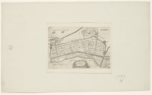
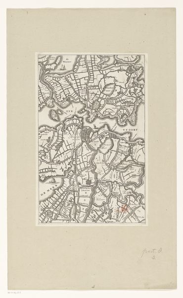
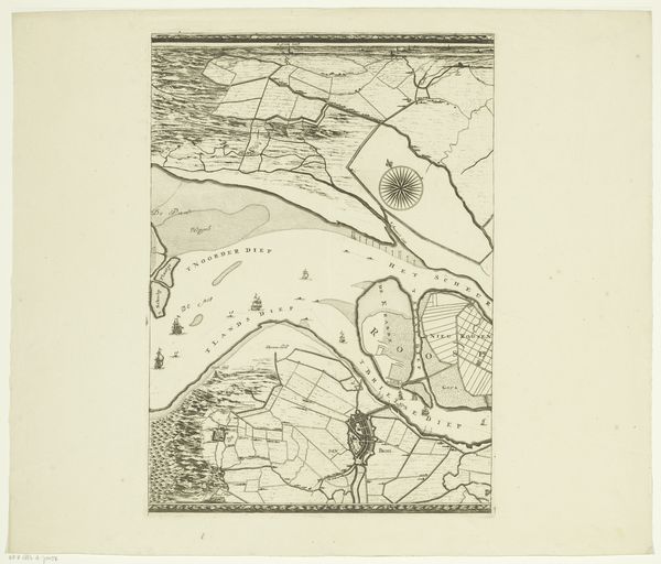
This is an anonymous plan of Edam. Its intricate lines and shapes offer a structured view of the town. The rigid geometry of the map reflects the layout of a space but also represents social and political structures. The formal composition of the plan, with its deliberate arrangement of lines, shapes, and text, transforms the physical space of Edam into a symbolic representation. Each element, from the waterways to the buildings, acts as a signifier, encoding cultural values and spatial relationships. This semiotic approach to the map allows us to understand not just the geography of Edam but also the underlying power structures and social dynamics that shape its identity. Consider the concept of representation itself. Does this map provide an objective view or is it a subjective interpretation of Edam? It invites us to question the idea of fixed meanings and to recognize the map as a dynamic and evolving cultural artifact.
Comments
No comments
Be the first to comment and join the conversation on the ultimate creative platform.