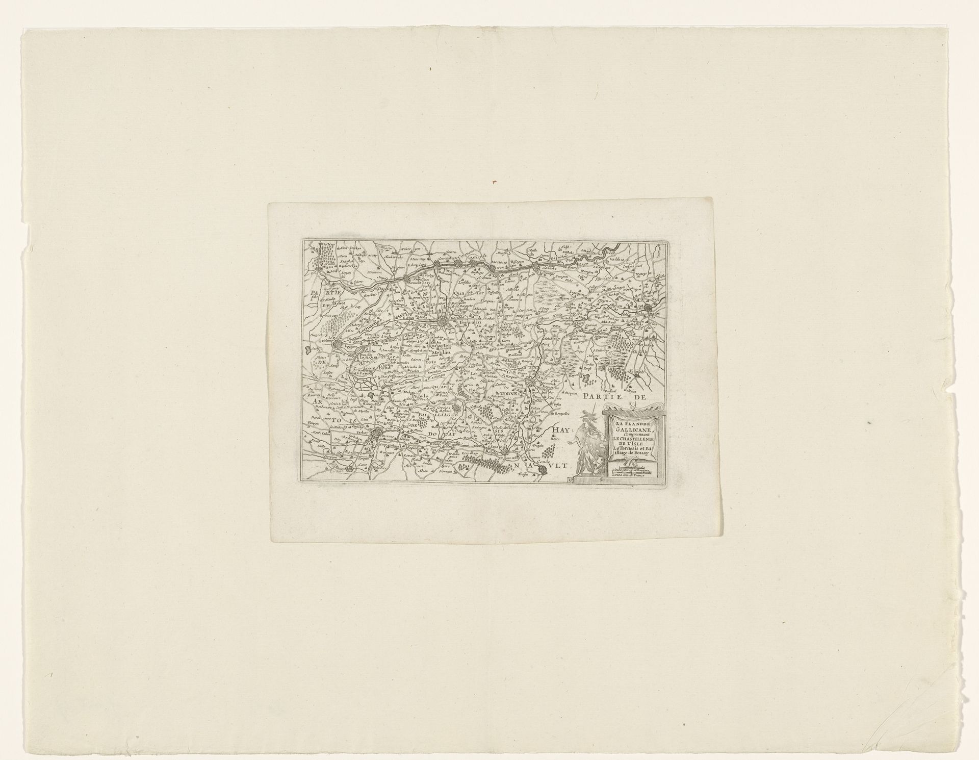
c. 1635 - 1696
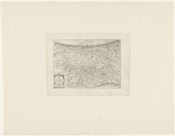
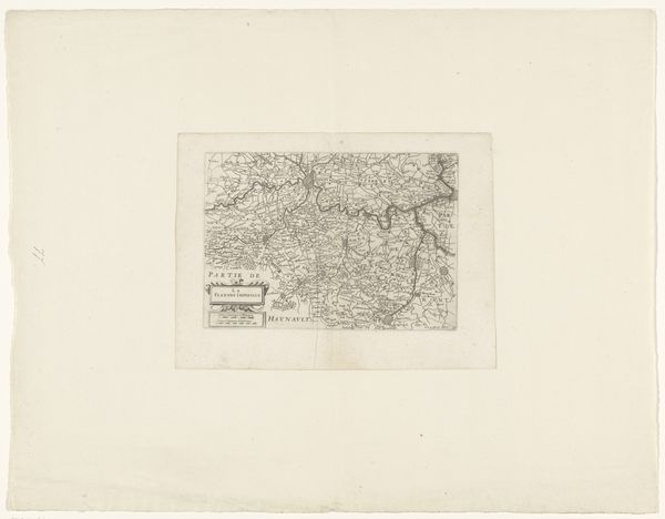
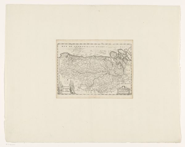
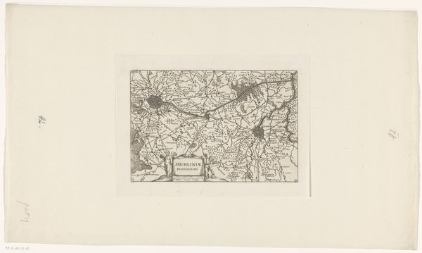
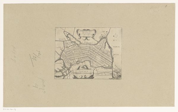
Kaart van Frans-Vlaanderen
Anonymous
@anonymousLocation
RijksmuseumListen to curator's interpretation
Curatorial notes
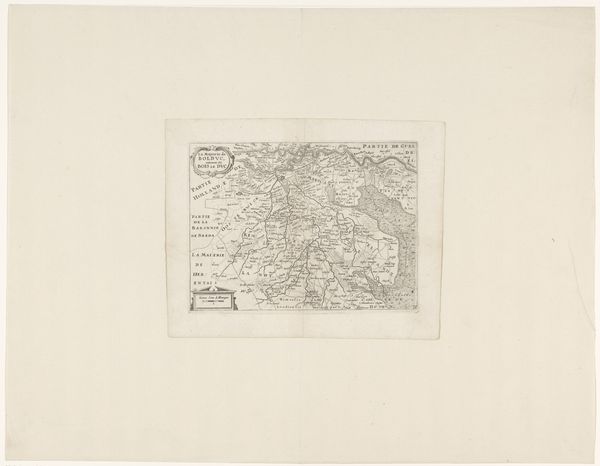
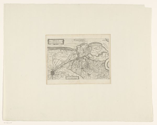
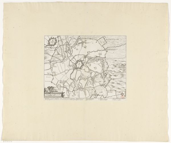
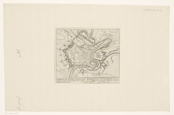
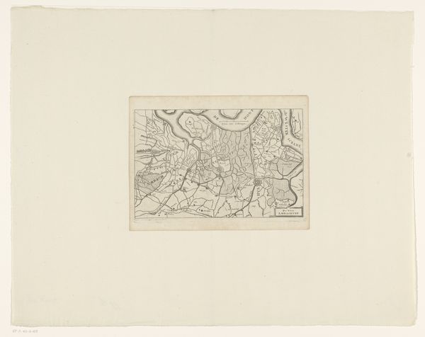
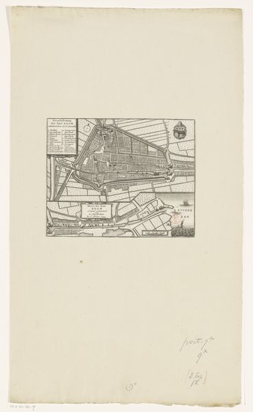
Curator: It’s densely detailed. A spiderweb of tiny marks, like a miniature world meticulously rendered. The aging of the paper lends a feeling of fragility to something that was probably intended to communicate strength and dominance. Editor: We are looking at “Kaart van Frans-Vlaanderen,” or “Map of French Flanders,” an ink and engraving print on paper, estimated to have been created sometime between 1635 and 1696. It’s currently part of the Rijksmuseum's collection. Let’s unpack the history. Curator: Absolutely. It's critical to see this map, not just as a geographical representation, but as a visual assertion of power, an attempt to define and control territory through representation. Who held the power to commission such a map, and who was it meant to serve? Editor: Precisely. Maps, especially during this period, were instrumental in solidifying claims of ownership and political influence. This specific map shows French Flanders during a time of considerable geopolitical upheaval. Its creation coincides with various conflicts between France and the Habsburgs, as each struggled for territorial control. The political messaging behind its production can't be ignored. Curator: And consider the presumed audience. While appearing “objective,” maps always embody certain perspectives and biases. For example, to whom does this rendering give visual priority? Does this benefit merchants, the military, the colonizers, or the colonized? Editor: These maps were tools, used to legitimize state power and imperial ambitions. Moreover, analyzing the cartographic conventions of the time also unveils the development of scientific methodologies in parallel with colonial expansion and capitalist aspirations. Curator: The choice to represent terrain, waterways, and settlements reflects contemporary values and geopolitical goals. The presence and style of heraldry and embellishments indicate intended prestige and ownership, shaping public perception of that territory. Editor: Maps of this period served purposes far beyond mere wayfinding. Examining “Kaart van Frans-Vlaanderen” forces us to think about cartography’s deep ties to political ambition, and how the simple act of mapping can profoundly influence society. Curator: It encourages me to revisit and critically analyze the very nature of maps and territorial representation. Editor: Indeed, turning a reflective lens towards such items gives them fresh context.