print, paper, ink, engraving
#
dutch-golden-age
# print
#
paper
#
ink
#
geometric
#
cityscape
#
engraving
Dimensions: height 155 mm, width 233 mm
Copyright: Rijks Museum: Open Domain
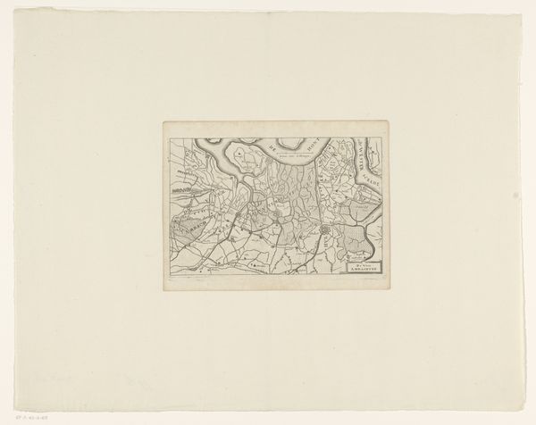
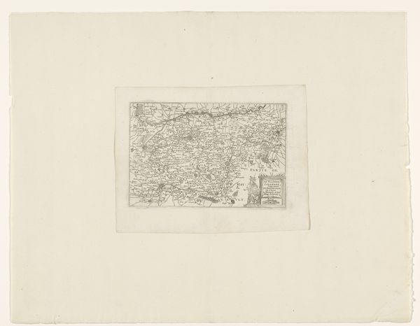
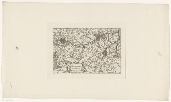
This map of East Flanders, created anonymously, presents a landscape crisscrossed with lines denoting roads and waterways. These are not mere geographical features; they are arteries of civilization, echoing the ancient Roman concept of the "via," or road, as a symbol of order and connection. Consider how these lines resemble the threads of fate, spun by the classical Fates, connecting communities. This cartographic representation is not just about physical space but also about the psychological space of connection and movement. The rivers and roads, like the threads of destiny, guide and bind us. Remember how waterways have always been vital to trade and travel, thus influencing the spread of ideas and cultural exchange. It becomes clear how the power of geography and the psychological impact of lines can influence our perception of the world, and this map is far more than a mere record of the land.
Comments
No comments
Be the first to comment and join the conversation on the ultimate creative platform.
More like this