drawing, print, etching, ink
#
drawing
#
dutch-golden-age
# print
#
etching
#
landscape
#
ink
Dimensions: height 156 mm, width 230 mm
Copyright: Rijks Museum: Open Domain
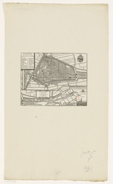
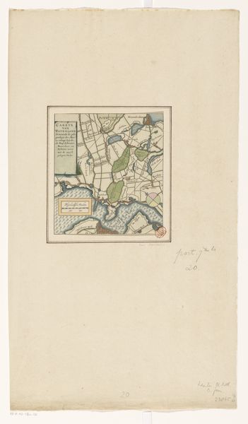
This is an anonymous map of the Zijpepolder, made with etching. The Zijpepolder is a reclaimed piece of land, a polder, and this map gives us a look at the moment of its creation. In the context of the 17th-century Netherlands, the map is more than just a tool for navigation, it embodies the cultural values of the time. It speaks to the Dutch Republic's innovative engineering, economic expansion through land reclamation, and a collective ambition to master the natural world. The map presents a highly ordered landscape. The way it presents space is not just cartography, it expresses a Dutch societal ideal. The geometric precision reflects a culture deeply invested in rational organization and control. Historians use maps like this as primary sources, comparing them with other documents, such as land surveys, engineering reports, and legal records. It is through this research that we can better understand the relationship between art, society, and the institutions that shaped them.
Comments
No comments
Be the first to comment and join the conversation on the ultimate creative platform.
More like this