print, engraving
#
baroque
# print
#
geometric
#
cityscape
#
engraving
Dimensions: height 159 mm, width 200 mm
Copyright: Rijks Museum: Open Domain
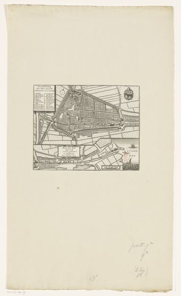
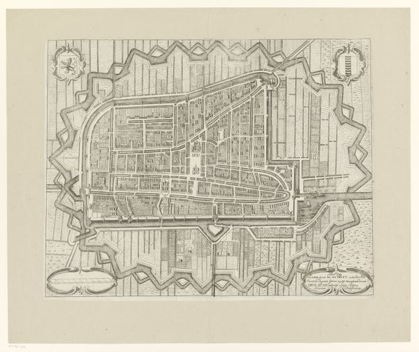
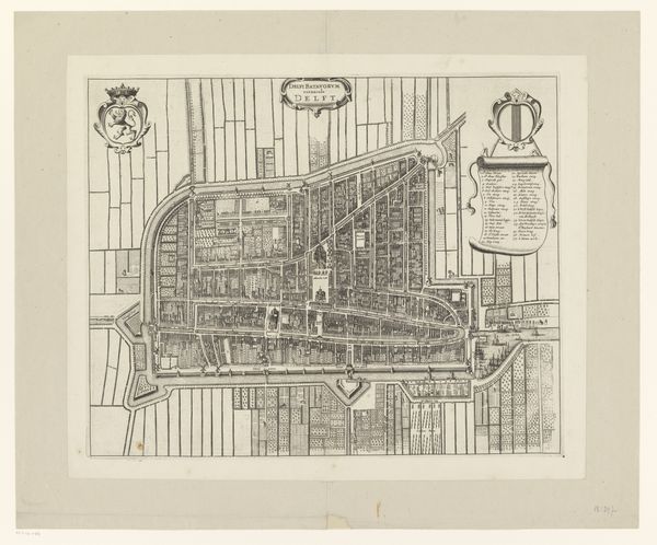
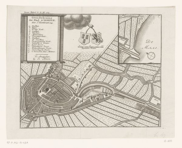
Jacobus Harrewijn created this detailed etching titled 'Plattegrond van Den Haag'. Notice how the lines defining the city's layout create a complex, interwoven grid. The composition, with its ordered arrangement of streets and buildings, offers a fascinating insight into the urban planning and spatial organization of The Hague. Harrewijn’s meticulous attention to detail transforms cartography into art. The etching employs line as a primary element to delineate the network of streets, waterways, and individual structures. This use of line is not merely descriptive; it also serves to structure our perception, guiding the eye through the urban landscape. Look closely at the contrast between densely packed areas and open spaces. This interplay challenges the idea of a uniform urban experience. The map is not just a tool for navigation, but a commentary on the lived experience of the city. How does this structured representation reflect or challenge the actual, lived experience of navigating the city?
Comments
No comments
Be the first to comment and join the conversation on the ultimate creative platform.
More like this