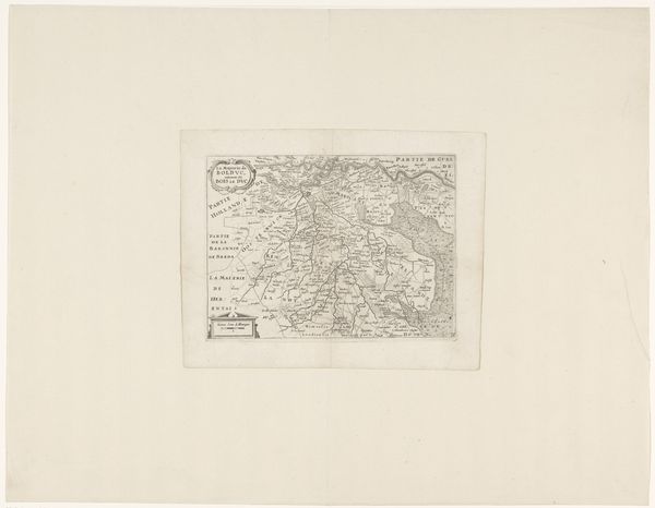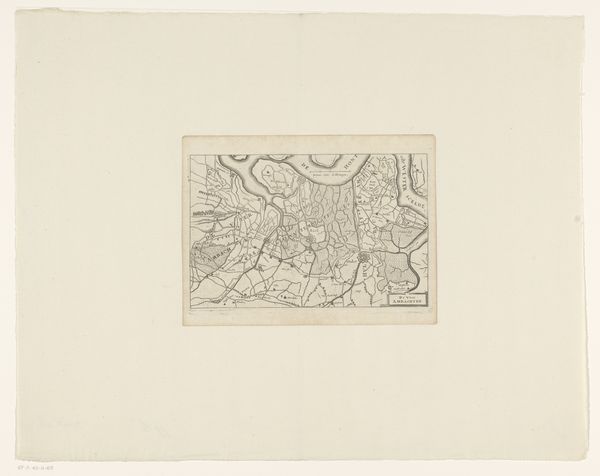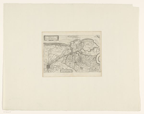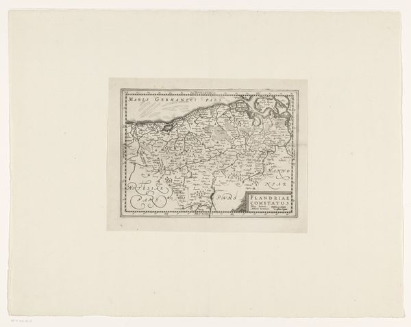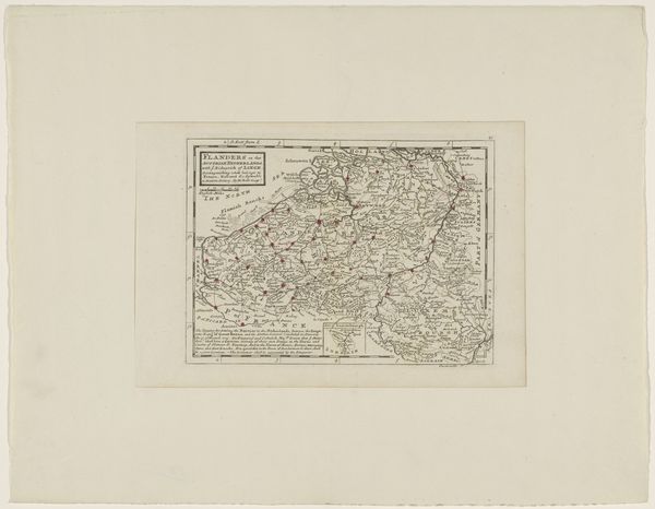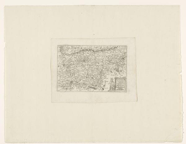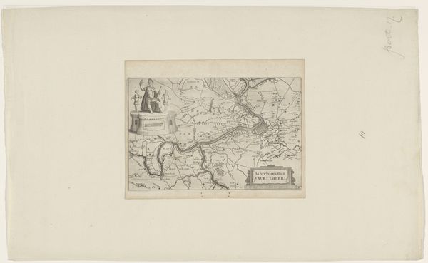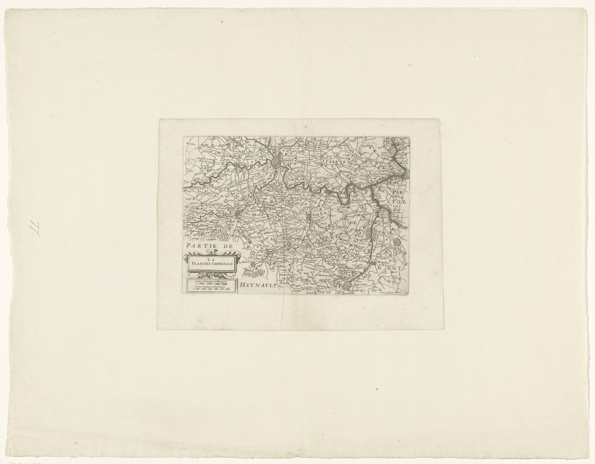
c. 1635 - 1696
Kaart van Vlaanderen (Zuidelijke Nederlanden)
Anonymous
@anonymousLocation
RijksmuseumListen to curator's interpretation
Curatorial notes
Curator: Let's take a look at this "Kaart van Vlaanderen (Zuidelijke Nederlanden)," or Map of Flanders, Southern Netherlands. It's an etching and engraving on paper, dating from roughly 1635 to 1696, currently held here at the Rijksmuseum. What’s your initial take? Editor: It's funny, seeing something so practical, like a map, rendered with such detail and artistry. Almost feels like a landscape painting but one filled with purpose, you know? I get a sense of precision alongside a subtle, almost dreamlike, quality. Curator: Precisely. The etching and engraving processes—the labour, the meticulous incising of lines—speak to the era’s reliance on skilled craftsmanship for knowledge dissemination. Each mark contributes to the cartographic accuracy but also imbues the map with aesthetic value. We see it's unsigned, so anonymous craftsmanship takes center stage. Editor: Absolutely. It makes you wonder about the people behind it. It isn't just cold data, it embodies an almost loving attention to place. Makes you think about how different our connection to place and territory was then. I mean, now, it all kinda blurs into Google Maps. Curator: That brings up the social context nicely. Land equaled power then. Maps like this were instrumental for governance, military strategy, trade, resource exploitation – all underpinned by an increasingly sophisticated print culture. Editor: True, these weren’t just beautiful objects. They had practical value rooted in societal power dynamics. But I still sense an emotional depth, that dedication imprints onto the work. You see it especially in landscape painting, the lines echoing a natural undulation. I almost wish I could get lost in the world, to be there. Curator: In cartography the medium, including paper and ink production, influenced the scalability and reproducibility of the maps. So more people could access the geographical details, making information a resource accessible beyond an aristocratic elite. Editor: So even maps become a democratising force. Looking closer, you can almost feel the quiet energy of the people living, farming, travelling this land. You see, its materiality goes beyond its mere use as a guide. What does this place mean to a person? This artwork tries to answer. Curator: A compelling point to consider: How material objects both shape, and reflect, broader shifts in cultural and economic realities. I feel like the conversation went where it should: that the process and object and all other things exist as one! Editor: Exactly. Makes me appreciate not just where a place is, but how people lived, to map the place, the meaning behind those maps... Thank you.