print, engraving
#
baroque
# print
#
cityscape
#
engraving
Dimensions: height 241 mm, width 299 mm
Copyright: Rijks Museum: Open Domain
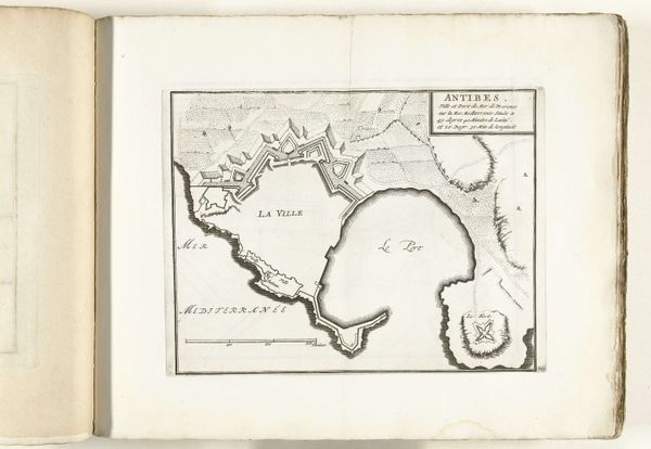
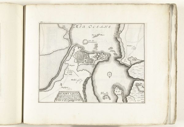
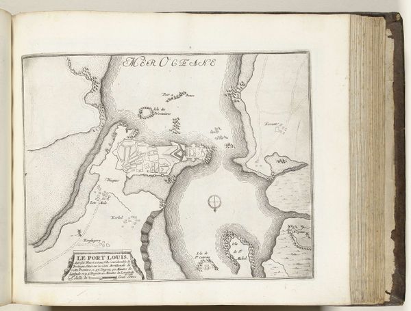
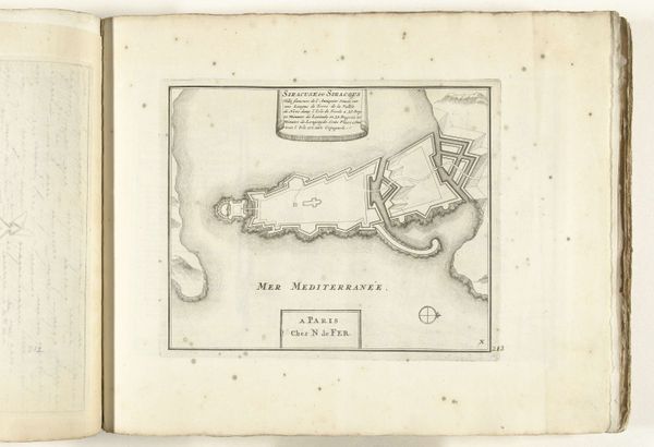
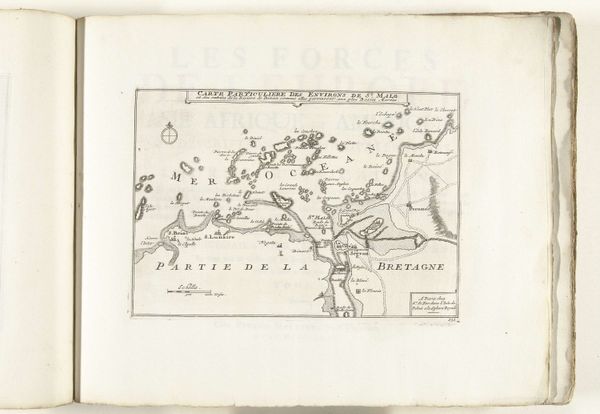
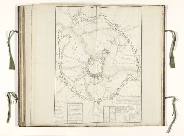
Here we see an anonymous engraving from around 1693 to 1696, a bird’s-eye view of Antibes. Notice how the city is encircled by fortifications—walls that sprout from the land like geometric flora. These walls, their angular projections, echo motifs found across epochs. The star shape, a form meant for military advantage, is a symbol of order, power, and protection. We can find similar forms, although with different connotations, in the protective symbols of ancient Mesopotamia, where similar shapes evoke a sense of divine safeguard. Here, the walls are the embodiment of a collective desire for safety, a visual manifestation of a community's fear and need for security. Looking at this map, we can see a city defined by its defenses, a place where the inhabitants’ lives were shaped by the constant possibility of conflict. The imprint of this psychological burden is etched into the very stones of Antibes, a tangible link to the anxieties of its past. This symbol reminds us of the enduring human quest for security.
Comments
No comments
Be the first to comment and join the conversation on the ultimate creative platform.
More like this