drawing, graphic-art, print, ink, engraving
#
drawing
#
graphic-art
#
aged paper
#
toned paper
#
baroque
# print
#
pen sketch
#
sketch book
#
personal sketchbook
#
ink
#
pen-ink sketch
#
ink colored
#
pen work
#
sketchbook drawing
#
cityscape
#
sketchbook art
#
engraving
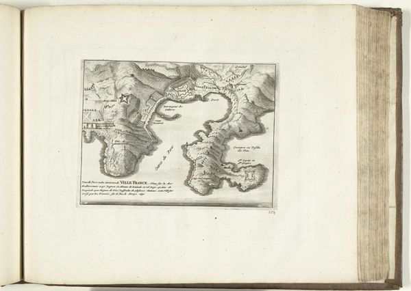
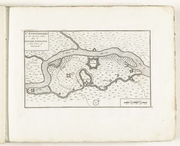
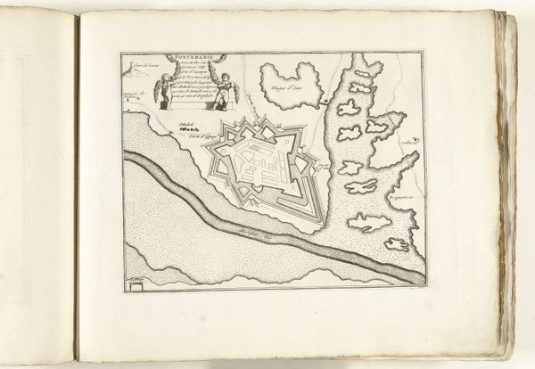
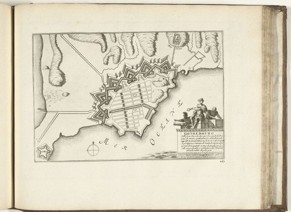
Dimensions: height 210 mm, width 280 mm
Copyright: Rijks Museum: Open Domain
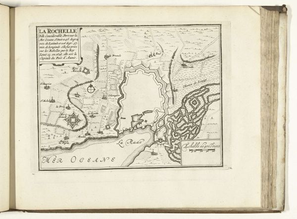
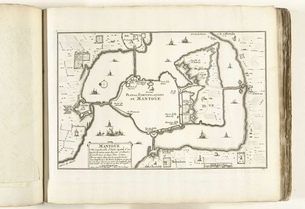
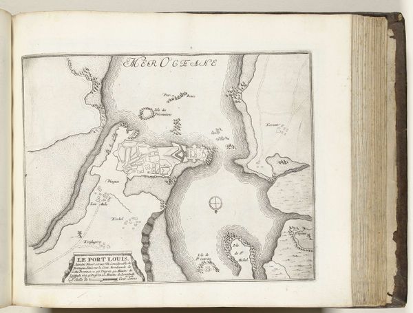
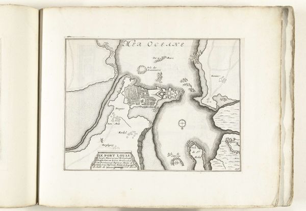
This map of Cadiz was created around 1695 by an anonymous artist. Cadiz, a city in Andalusia, Spain, was a crucial point for maritime trade and naval operations, especially between Europe and the Americas. Maps like this weren't just about geography, they were also about power. They represented a European perspective, staking claim and control over distant lands and resources. This map reflects the complex interplay of exploration, colonialism, and commercial interest during that era. It invites us to consider whose stories are told and whose are left out. How did the people living in these mapped locations perceive these representations of their homes? What does it mean to see your land reduced to lines and symbols, often by someone who doesn't share your culture or understand your experiences? Looking at this map, it's important to remember the human lives behind the strategic points and shipping lanes. It's a reminder of how intertwined our world is and how deeply historical power dynamics continue to shape our present.
Comments
No comments
Be the first to comment and join the conversation on the ultimate creative platform.
More like this