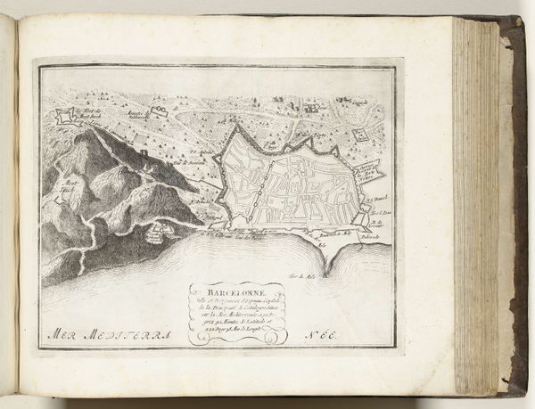
drawing, print, paper, ink, engraving
#
drawing
#
aged paper
#
baroque
# print
#
old engraving style
#
paper
#
personal sketchbook
#
ink
#
geometric
#
pen-ink sketch
#
ink colored
#
pen and pencil
#
pen work
#
sketchbook drawing
#
cityscape
#
watercolour illustration
#
sketchbook art
#
engraving
Dimensions: height 208 mm, width 282 mm
Copyright: Rijks Museum: Open Domain
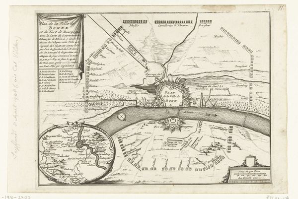
This is an anonymous map of Cologne, made around 1702. It’s an engraving on paper, oriented horizontally, that presents a schematic view of the city and its surroundings. Notice how the formal structure of the map is dominated by geometric shapes. The city’s fortifications are rendered as a jagged polygon, contrasted by the smooth, flowing lines of the Rhine River. This deliberate use of form highlights the city's strategic planning for defense, while the river signifies its importance for trade and movement. The visual contrast between the organic river and rigid architecture creates a tension, reflecting the interplay between nature and human intervention. The map’s composition functions beyond mere representation. Instead, it emphasizes the constructed order imposed upon the landscape, echoing broader philosophical themes of control, power, and the human desire to shape the environment. This reveals how maps, often viewed as objective documents, are also cultural artifacts that embody specific ideologies and worldviews.
Comments
No comments
Be the first to comment and join the conversation on the ultimate creative platform.
More like this