drawing, print, paper, ink, engraving
#
drawing
#
baroque
# print
#
landscape
#
paper
#
ink
#
geometric
#
pen-ink sketch
#
cityscape
#
engraving
Dimensions: height 218 mm, width 265 mm
Copyright: Rijks Museum: Open Domain
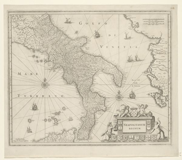
This print of the city of Syracuse, likely made in Paris around 1702, offers a fascinating glimpse into the intersection of craft, design, and materiality. The anonymous artist used etching, a printmaking technique, to create this detailed map on paper. Consider the material qualities of paper and ink. The etching process involved covering a metal plate with a waxy ground, drawing the design, and then immersing the plate in acid, which bit into the exposed lines. Ink was then applied to the plate and transferred to paper under high pressure. The result is a precise and reproducible image, perfectly suited for disseminating information. This map isn't just about geography; it reflects the social and political context of its time. The emphasis on fortifications speaks to concerns about defense and control. Mapping was also increasingly important to trade, colonization, and military strategy, demonstrating the intertwining of craft with larger power structures. The work involved in creating the map required skilled labor and specialized knowledge. By attending to materials, making, and context, we can appreciate how even seemingly utilitarian objects like maps carry rich cultural significance.
Comments
No comments
Be the first to comment and join the conversation on the ultimate creative platform.
More like this