painting, watercolor
#
water colours
#
muted colour palette
#
baroque
#
painting
#
landscape
#
watercolor
#
geometric
#
watercolor
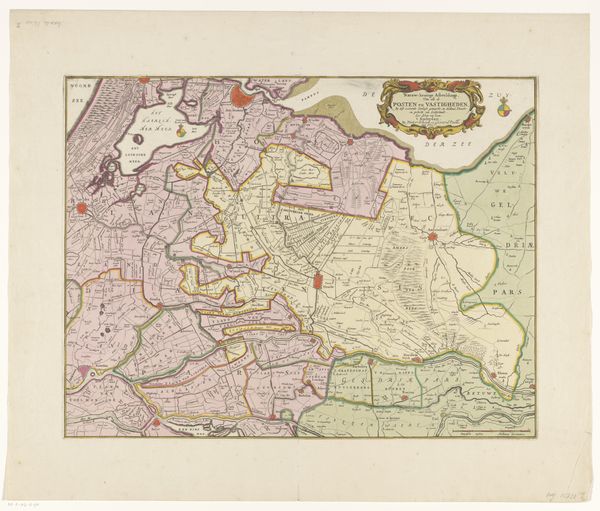
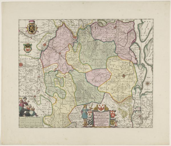
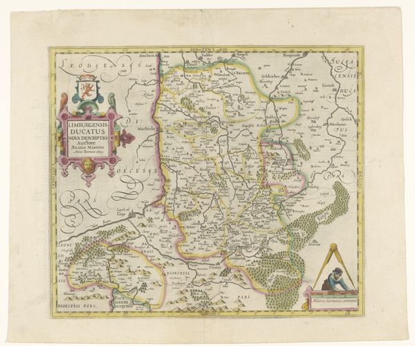
Dimensions: height 409 mm, width 512 mm
Copyright: Rijks Museum: Open Domain
This is an undated map of Flanders, part of the Spanish Netherlands, created by an anonymous artist. Maps are more than just geographical tools; they are cultural artifacts that reflect how a society views itself and its place in the world. Consider how the act of mapping involves claiming and defining territory. In this context, the map serves as a political statement, asserting control over a region. The inclusion of heraldry and symbols of power reinforces the idea of ownership and authority. The map reflects the complex interplay of regional identity, imperial power, and cultural expression in the early modern period. Look at how the map emphasizes certain features while omitting others. This process of selection reveals what the mapmaker and their patrons deemed important. What stories does this map tell, and whose voices are left out? Notice how an apparently objective representation of space is, in fact, a deeply subjective and culturally loaded document. As you stand here, reflect on the power of maps to shape our understanding of the world and the hidden narratives they contain.
Comments
No comments
Be the first to comment and join the conversation on the ultimate creative platform.
More like this