graphic-art, print, engraving
graphic-art
dutch-golden-age
landscape
engraving
Dimensions: height 389 mm, width 531 mm
Copyright: Rijks Museum: Open Domain
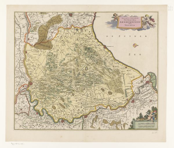
This is an undated map of Drenthe, created by an anonymous artist. The detailed rendering of Drenthe offers insight into the region's geographical and political landscape during its time. Note that the map isn't just a neutral depiction of geography. It’s a cultural artifact reflecting the social and political order of the time. Consider the visual hierarchy: Who gets represented? How are different areas or groups depicted, and what does this suggest about power dynamics? The inclusion of coats of arms and armed figures frame the territory as a possession to be claimed. How does the map serve as a tool for claiming space and authority? How does it shape a collective understanding of place and belonging? The emotional weight lies in understanding whose stories are told, and whose are erased in this rendering of Drenthe. In viewing this map, we can consider how knowledge and representation are intertwined with power and identity.
Comments
No comments
Be the first to comment and join the conversation on the ultimate creative platform.