graphic-art, print, engraving
#
graphic-art
# print
#
old engraving style
#
landscape
#
11_renaissance
#
engraving
Dimensions: height 385 mm, width 503 mm
Copyright: Rijks Museum: Open Domain
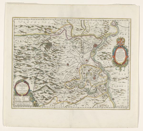
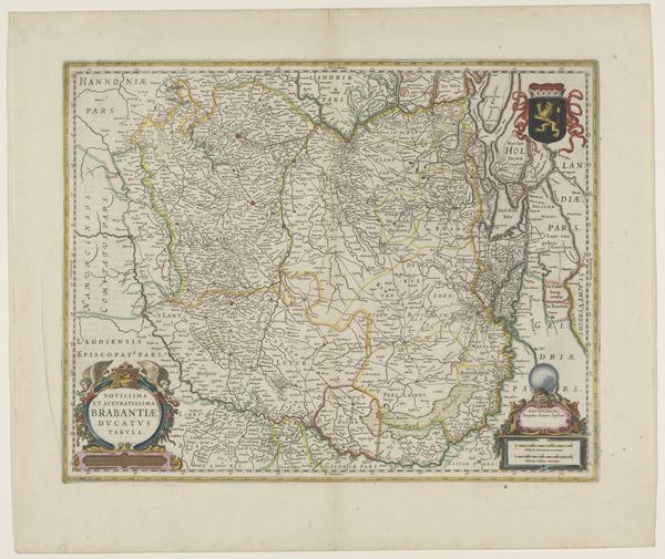
This is an anonymous, undated map of Touraine, a region in France. Mapping in this period was deeply entwined with political power, not simply reflecting territories but actively shaping perceptions of ownership and control. Notice how the map isn't just a neutral depiction of land; it’s adorned with heraldic symbols and decorative cartouches. These elements assert the authority of the ruling powers and create a visual narrative of dominance. The act of mapping itself was an assertion of power, defining boundaries and laying claim to territories. Consider this map as an early form of visual propaganda. It presents a carefully constructed view of the world, reinforcing the social hierarchies and political ambitions of its time. It invites us to reflect on how seemingly objective representations are always embedded with cultural and political meanings, influencing how we understand our place in the world.
Comments
No comments
Be the first to comment and join the conversation on the ultimate creative platform.
More like this