painting, watercolor
#
baroque
#
painting
#
landscape
#
watercolor
#
cityscape
#
watercolor
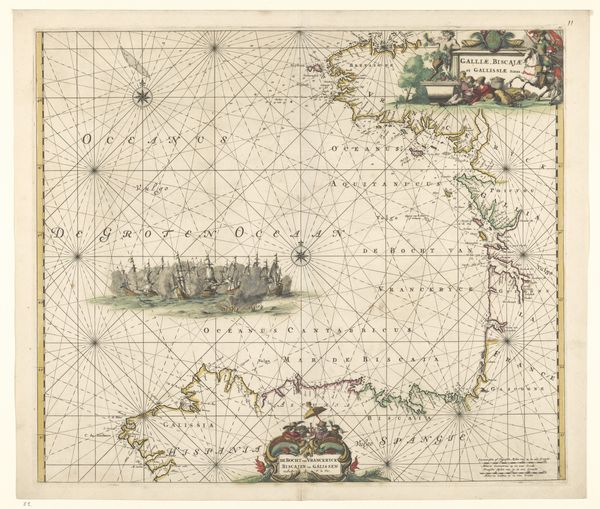
Dimensions: height 499 mm, width 568 mm
Copyright: Rijks Museum: Open Domain
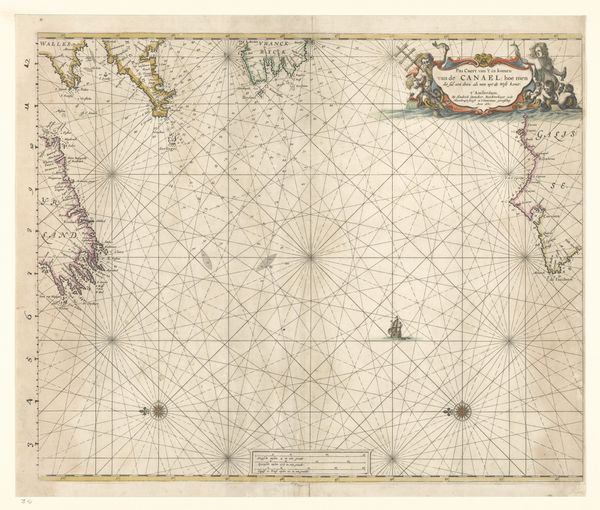
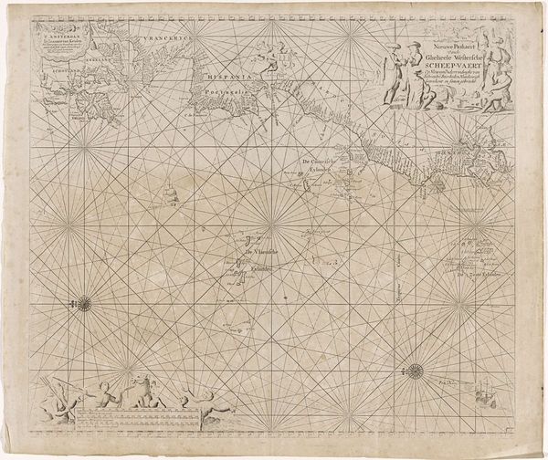
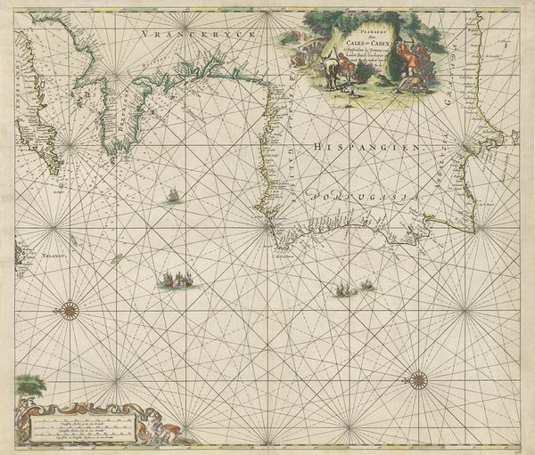
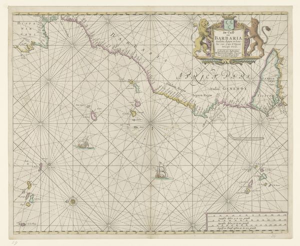
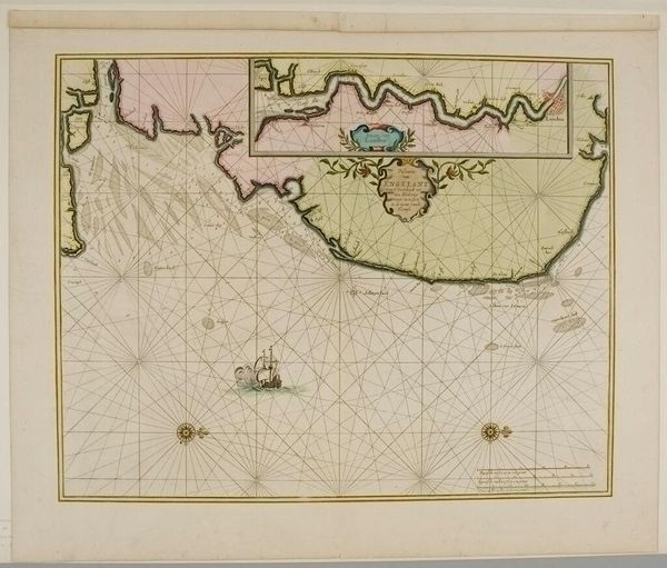
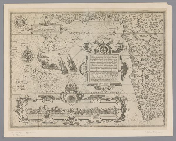
This is Frederik de Wit’s ‘Kaart van de kust van Spanje en Portugal’, a map created during the height of Dutch maritime power in the 17th century. The map is more than just a geographical tool, it's a window into the ambitions and worldview of a society deeply involved in global trade and colonization. The elaborate cartouche at the top, featuring figures in exoticized costumes, tells us about how the Dutch saw themselves in relation to the Iberian Peninsula. There is a clear hierarchy on display, marking the Dutch as belonging to a higher order than the people populating the coast of Spain and Portugal. The detailed coastal lines and navigational grids reveal the strategic importance of this region for maritime trade routes. But beyond the economic and political dimensions, consider the human stories embedded in this map – the sailors, merchants, and colonizers who traversed these waters, and the indigenous populations whose lives were forever changed by these encounters. The map invites us to reflect on the complex and often fraught relationship between exploration, exploitation, and cultural exchange that defined this era.
Comments
No comments
Be the first to comment and join the conversation on the ultimate creative platform.
More like this