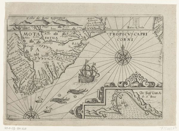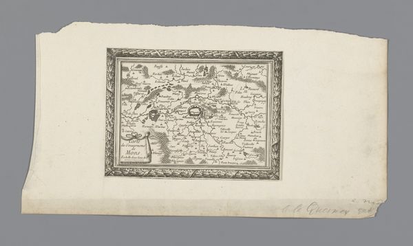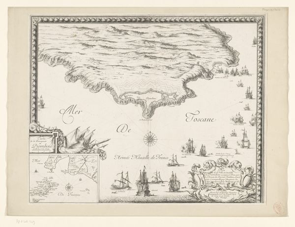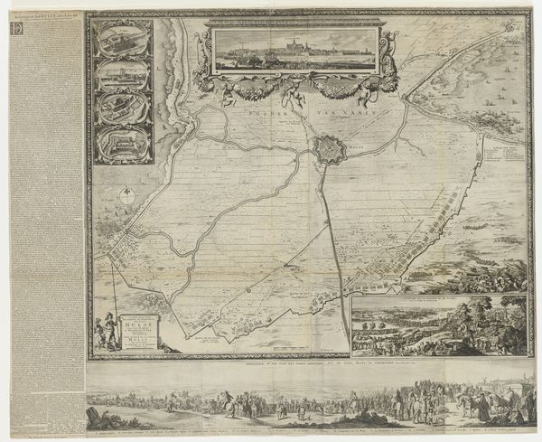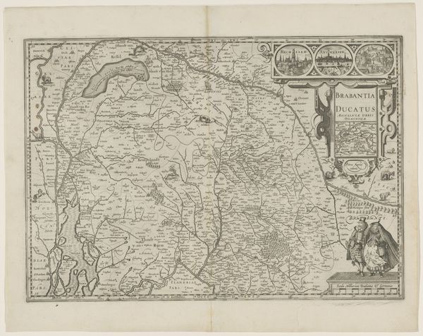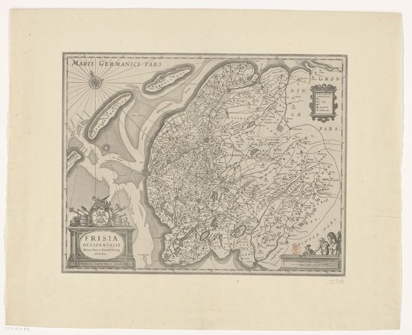
Kaart van West-Afrika van Guinee tot aan Kaap de Goede Hoop 1595 - 1596
0:00
0:00
arnoldflorisvanlangren
Rijksmuseum
graphic-art, print, ink, engraving
#
graphic-art
# print
#
landscape
#
ink
#
northern-renaissance
#
engraving
Dimensions: height 395 mm, width 530 mm
Copyright: Rijks Museum: Open Domain
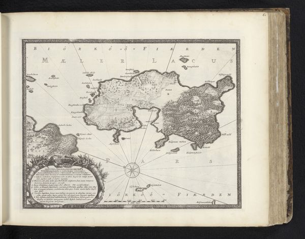
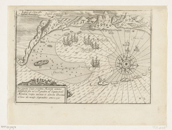
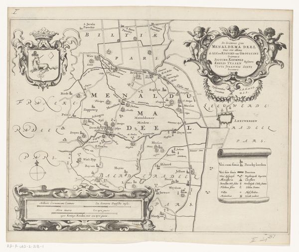
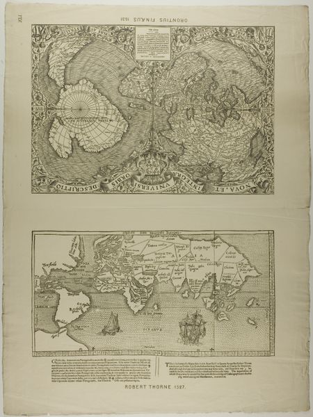
This map of West Africa from Guinea to the Cape of Good Hope was made by Arnold Floris van Langren, likely around the early 17th century. It’s an engraving, printed on paper – a relatively inexpensive and easily reproducible medium, which allowed for the wide dissemination of geographic information. Look closely and you can see how the lines create detail, from the coastlines to the decorative embellishments. The act of engraving requires a skilled hand, precisely incising lines into a metal plate, which is then inked and printed. The amount of work that went into this production is a testament to the value placed on accurate cartography. Consider, too, the social context: maps like these were vital tools for trade and colonization, reflecting Europe’s expanding global reach. This map isn't just an aesthetic object; it embodies the economic and political forces that shaped the world.
Comments
No comments
Be the first to comment and join the conversation on the ultimate creative platform.
