print, etching, watercolor
#
water colours
#
dutch-golden-age
# print
#
etching
#
landscape
#
etching
#
watercolor
Dimensions: height 433 mm, width 535 mm
Copyright: Rijks Museum: Open Domain
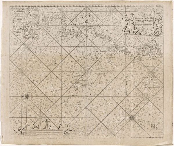
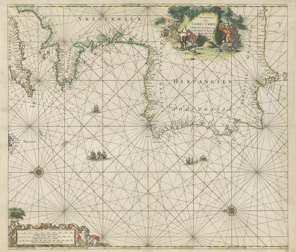
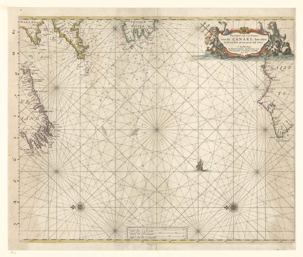
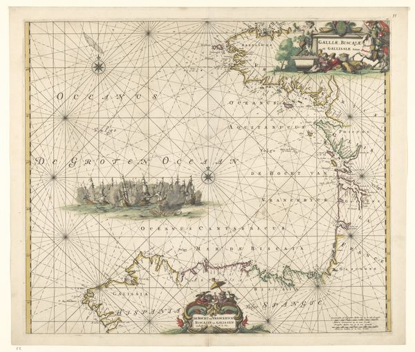
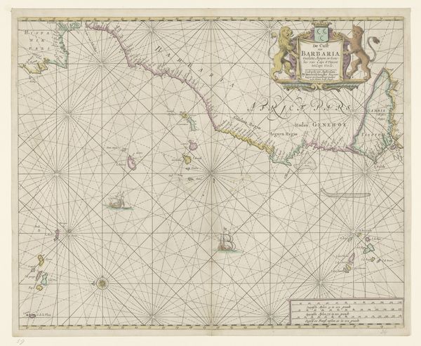
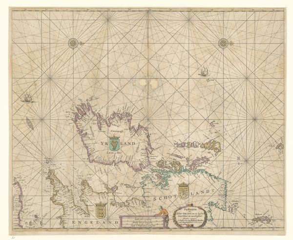
This chart of the Vlie was made in the 17th century by Johannes van Loon, using ink and watercolor on paper. Far from being simply a neutral record, the chart is full of information, which reveals a great deal about Dutch society and culture at the time. The network of lines that crisscross the paper is called a rhumb grid, used to plot courses at sea. You can see how the coastlines are rendered with extraordinary detail. It required the skilled labor of surveyors, draughtsmen, and engravers, whose expertise was crucial for navigation and trade. These kinds of maps were tools of empire, enabling the Dutch to extend their reach across the globe, in pursuit of commerce. Note the decorative cartouches, coats of arms, and figures that adorn the map; these were important elements of its appeal as a luxury object. So, while on first glance, this Paskaart van het Vlie might appear purely functional, it is also an artifact loaded with social meaning. It embodies the ambition, ingenuity, and, yes, the exploitation that defined the Dutch Golden Age.
Comments
No comments
Be the first to comment and join the conversation on the ultimate creative platform.
More like this