print, paper, watercolor
#
dutch-golden-age
# print
#
landscape
#
paper
#
watercolor
#
watercolor
Dimensions: height 438 mm, width 528 mm
Copyright: Rijks Museum: Open Domain
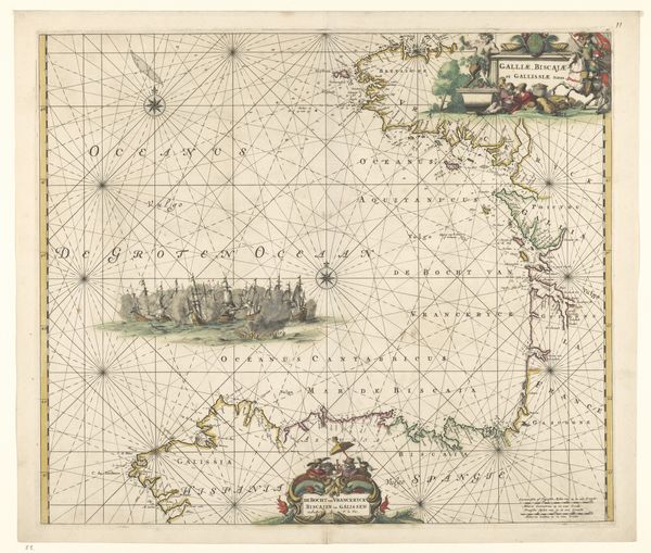
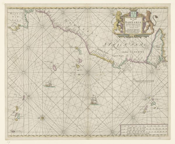
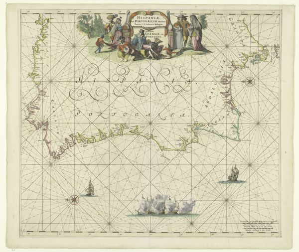
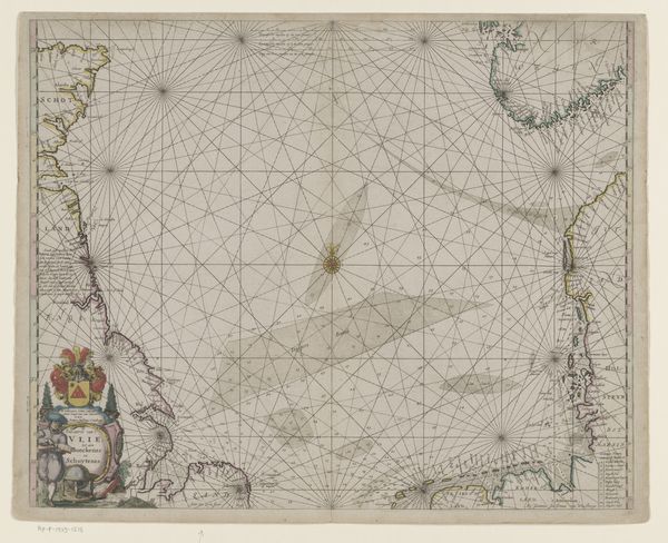
Editor: This is "Zeekaart van het westelijke gedeelte van het Kanaal" – or, a Sea Chart of the Western Part of the Channel, created in 1661 by Hendrick Doncker. It's a print on paper, accented with watercolor. Looking at it, I feel a sense of historical distance, of imagining journeys from so long ago. All those lines charting direction! What jumps out at you when you look at this, knowing so much about art history? Curator: Well, darling, this isn't just any old map; it's a portal. Imagine yourself on one of those ships, relying solely on this chart, the stars, and a bit of grit. Doncker wasn't just drawing lines; he was capturing the spirit of exploration and the ever-present danger of the sea. See how the watercolor softens the harsh geometry? It's as if he's acknowledging the unpredictable nature of the ocean itself. Does it make you wonder what untold stories it holds? Editor: Absolutely! The way it blends scientific accuracy with this almost romantic, painted quality...It makes it more than just a navigational tool. More like art! How common was it to add that sort of decorative element, I wonder? Curator: Common enough! Sea charts were not only tools for navigating real waters, but also instruments used for trade and politics. The decorations became a form of personal and cultural expression! Take that title cartouche with its little Neptune figures. They lend a sense of national pride, Dutch flair for navigation and maritime authority. So, while meticulously mapping coastlines and sea routes, Doncker reminds us, perhaps a bit cheekily, of Dutch mastery of the seas. Don't you find the hint of subtle swagger incredibly charming? Editor: I do! Now I am seeing this map, chart, artwork, or whatever this is...I am seeing it in a totally new light! Thanks! Curator: Anytime, love. Let’s continue diving into these intriguing tales behind lines, shall we? There is more to this little map than first meets the eye.
Comments
No comments
Be the first to comment and join the conversation on the ultimate creative platform.
More like this