graphic-art, print, engraving
#
graphic-art
#
baroque
# print
#
landscape
#
geometric
#
cityscape
#
engraving
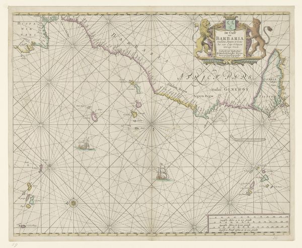
Dimensions: height 493 mm, width 573 mm
Copyright: Rijks Museum: Open Domain
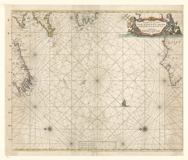
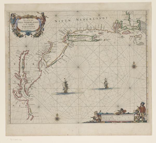
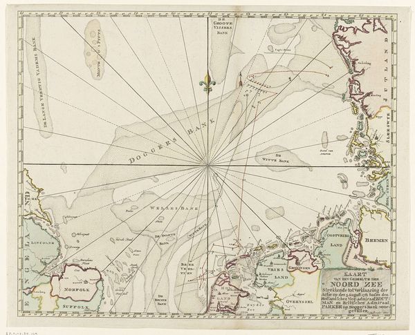
This is Frederik de Wit’s ‘Zeekaart van de Golf van Biskaje’, made around 1675 using engraving. At first glance, what strikes you is the intricate network of lines converging towards the compass roses, which creates a sense of structured space. Note how the composition is split between the practical demands of nautical charting and allegorical flourishes. Consider how the map functions as a visual representation of space and power. De Wit uses a grid system, a semiotic structure, to chart geographical knowledge and colonial ambition. We see ships, landmasses, and decorative elements rendered in a style that merges objective cartography with artistic license. These ships aren't merely decorative; they also indicate maritime power. Notice also the tension between the order of the grid and the chaotic potential of the sea, an element that destabilizes any fixed meaning of the represented area. This map invites us to reflect on how we perceive and control our environment.
Comments
No comments
Be the first to comment and join the conversation on the ultimate creative platform.
More like this