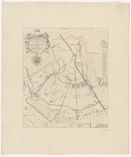
1698 - 1718
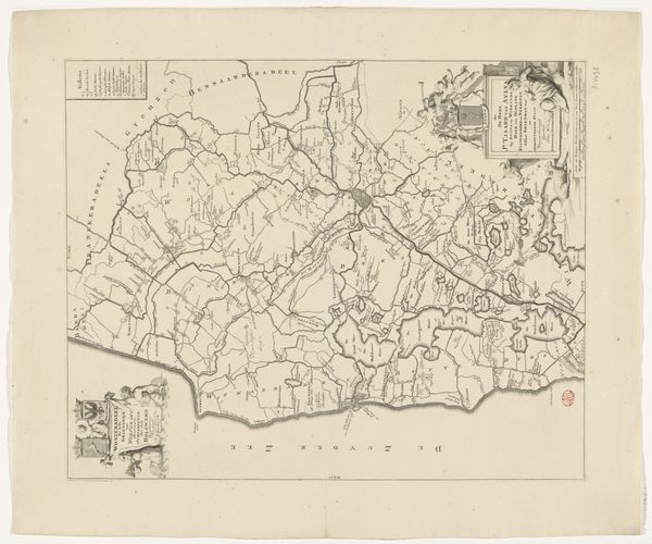
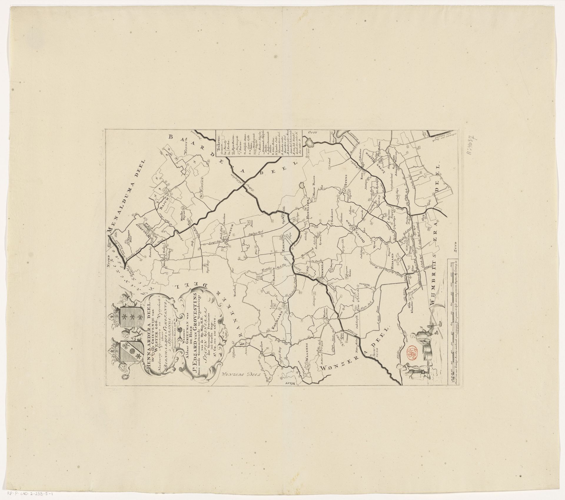
Kaart van de grietenij Hennaarderadeel
Listen to curator's interpretation
Curatorial notes
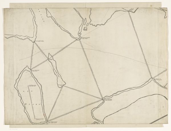
This is an undated map of the grietenij Hennaarderadeel, created by an anonymous artist. It offers a glimpse into a very particular ordering of the world. In the historical context of the Netherlands, grietenijen were rural administrative districts, each with its own distinct identity and governance. This map isn't merely a geographical tool, it's a representation of power, control, and belonging. It reflects the social and economic structures of the time, hinting at land ownership, trade routes, and community boundaries. The intersections of class and local governance are deeply embedded in its lines. What stories might the waterways and roads tell about the lives of those who lived and worked in this region? How did gender, race, and social status shape their experiences within these mapped boundaries? This map is not just a document; it's an invitation to imagine the lived realities of people within this place.