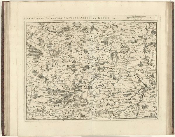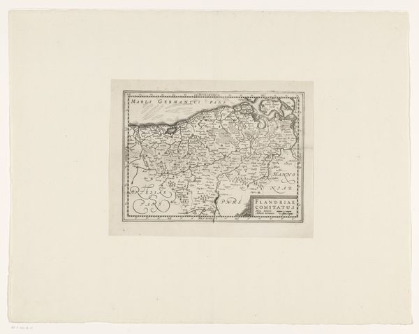
Curatorial notes
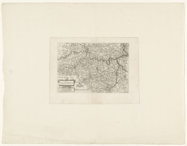
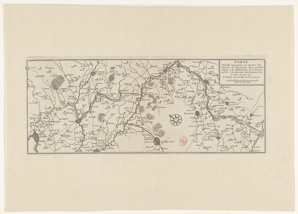
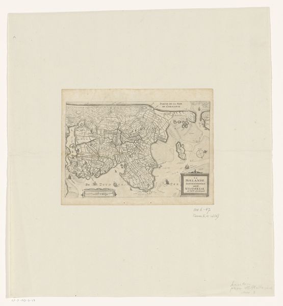
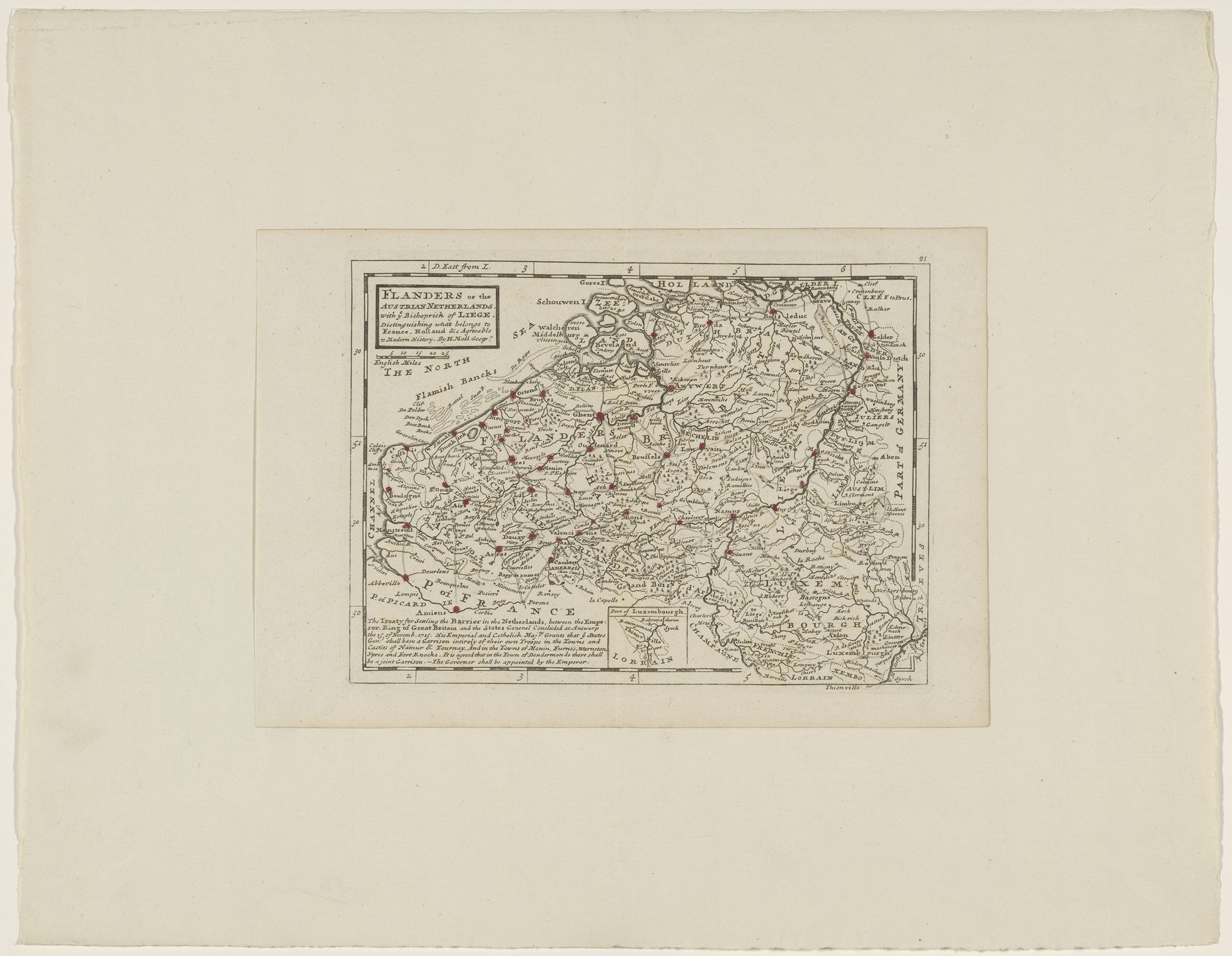
This is an anonymous map of Flanders of unknown date, rendered in ink. The monochromatic palette focuses our attention on the lines and textures that define space and political boundaries. Notice how the lines create a complex network, mapping not just geographical features but also systems of power and connection. The visual structure is one of layering, where the representation of land overlaps with the imposition of administrative divisions. Dots mark settlements, connected by lines of communication. The artist uses a semiotic system where each element acts as a sign, contributing to the overall meaning of territory and control. Through its form, the map reflects broader philosophical concerns about the nature of representation and the construction of knowledge. The map isn’t simply reflecting reality but actively shaping it. It is a complex interplay between objective representation and subjective interpretation. Consider how the map’s graphic organization invites viewers to participate in the act of constructing meaning and to explore the dialogue between space, knowledge, and power.